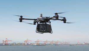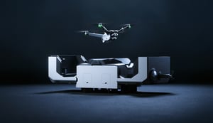
Two technology pioneers accustomed to raising the bar together have done it again in spectacular style. On August 4th, Hovermap technology developed by Emesent was used to power the world’s first DJI M300 underground autonomous flight at Round Oak Minerals’ Mount Colin copper mine in northern Queensland, Australia.
Hovermap is an award-winning SLAM-based LiDAR mapping payload that combines advanced collision avoidance and autonomous flight technologies. Its world-class Simultaneous Localization and Mapping (SLAM) delivers high-density point clouds of unparalleled accuracy.
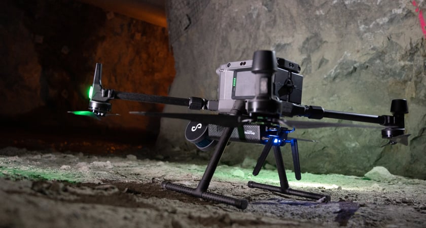
DJI customers around the world have been using Hovermap’s Autonomy Level 1 (AL1) capability for almost two years, to safely map challenging GPS-denied areas within line of sight.
The recent launch of Autonomy Level 2 (AL2) for Hovermap, the world’s first plug-and-play payload to deliver autonomous, beyond line-of-sight flight in GPS-denied environments, has made beyond line-of-sight underground flight possible for the first time with the M300.
A major breakthrough in Emesent’s quest to develop fully autonomous flight systems, AL2 technology has been successfully employed to send DJI drones on a handful of experimental missions in recent weeks. They’ve gone beyond line-of-sight and communication range and ventured farther into previously inaccessible areas to capture data which has delivered valuable insights.
Tablet controlled flight
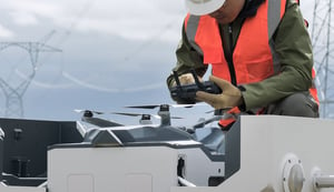
With AL2, Hovermap pilots can fly an entire mission, from take-off to landing, using a tablet. Data is processed on-board in real-time. That means that by the time the drone touches down it has already produced a detailed 3D map of the terrain it has traversed. Essentially once the M300 RTK and Hovermap goes beyond line of sight, the pilot doesn't need to pilot the drone: it will make its own way to reach the set target or destination.
It’s a quantum leap forward in the journey towards fully autonomous drone flights in challenging GPS-denied environments; a journey Emesent is delighted to make alongside DJI, an engineering pioneer long acknowledged as the market leader in industrial drone design and manufacture.
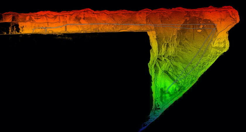 Lidar data captured with Hovermap are processed to produce high resolution and spatially accurate 3D point clouds, delivering valuable data and insights that was previously impossible to access.
Emesent has worked closely with DJI to ensure compatibility and integration of autonomous functionality with drone flight controls.
AL2’s key features include:
- Autonomous, beyond line-of-sight flight in GPS-denied environments, which enables users to map and explore previously inaccessible areas, delivering valuable data and insights.
- Guided exploration: pilots can set a waypoint beyond the current map extents and Hovermap will explore autonomously towards the waypoint while avoiding obstacles using its Virtual Shield.
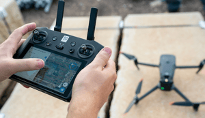
- An intuitive Tap-To-Fly interface, which allows pilots to set 2D, 3D or planar Smart Waypoints by tapping on the map
- The transmission of real-time point clouds to the pilot, who can interact with and explore the scan data while operating the aircraft
- An improved user experience, which enables pilots to execute a mission by connecting their DJI controller to the tablet
- A comprehensive suite of smart failsafes, including low battery return to home, critical battery auto landing, a backup navigation system, adaptive WiFi and RC communication loss failsafe, poor waypoint placement failsafe, and system health monitoring.
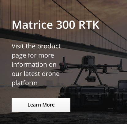
Learn More Live at AirWorks

Emesent CEO and co-founder Dr. Stefan Hrabar and Chief Technology Officer, Farid Kendoul, will present at AirWorks 2020 on the integration of Hovermap’s AL2 capability with the M300 RTK to provide a powerful autonomous LiDAR mapping solution. His presentation will outline how Emesent has interfaced with the M300’s Onboard and Mobile SDKs to provide advanced capabilities and an intuitive user interface. Dr. Hrabar will also discuss the benefits of marrying Hovermap with the M300 and present case studies from the mining and civil engineering sectors.
Connect with Emesent at emesent.io and on Twitter.