


Edwin Escobar
CEO of DEL
Edwin served two terms as president of Guatemala’s National Association of Municipalities, was vice president of its national electricity system provider, and a board member for the Guatemalan regional electric market operator. The former dean of engineering at Universidad Rafael Landivar, he founded an NGO which has constructed more than 250 school classrooms in underserved communities.

Diego Zelada
Architect + Droner
Chilean, resident in Guatemala City. Studied architecture at Francisco Marroquin University. Prior to getting involved with drones and high-techonlogy, I was involved in the planning and design of residentialbuildings and commerces.With DEL being the second company that I start offbeing the first to join the team, l've had theopportunity to be involved with the latest pieaces of techonlogy, that cover a wide variety of specters, from site analysis for development, multispectral analysis, water risk levels, up to ancient ruinsdiscoveries.
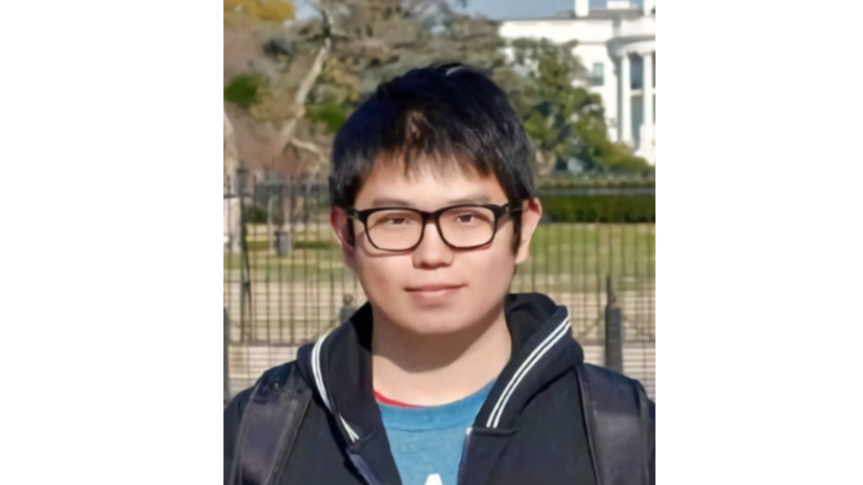
Run Li
Solutions Engineer at DJI
Run Li is a Solutions Engineer at DJI Enterprise, specializing in the development of innovative geospatial solutions using unmanned systems. With a strong focus on optimizing adaptive daily UAV operations, Run Li's contributions have been instrumental in driving the advancement of next-generation solutions at DJI Enterprise. Through his industry insights and expertise, he has played a vital role in shaping the development and success of DJI's geospatial offerings.
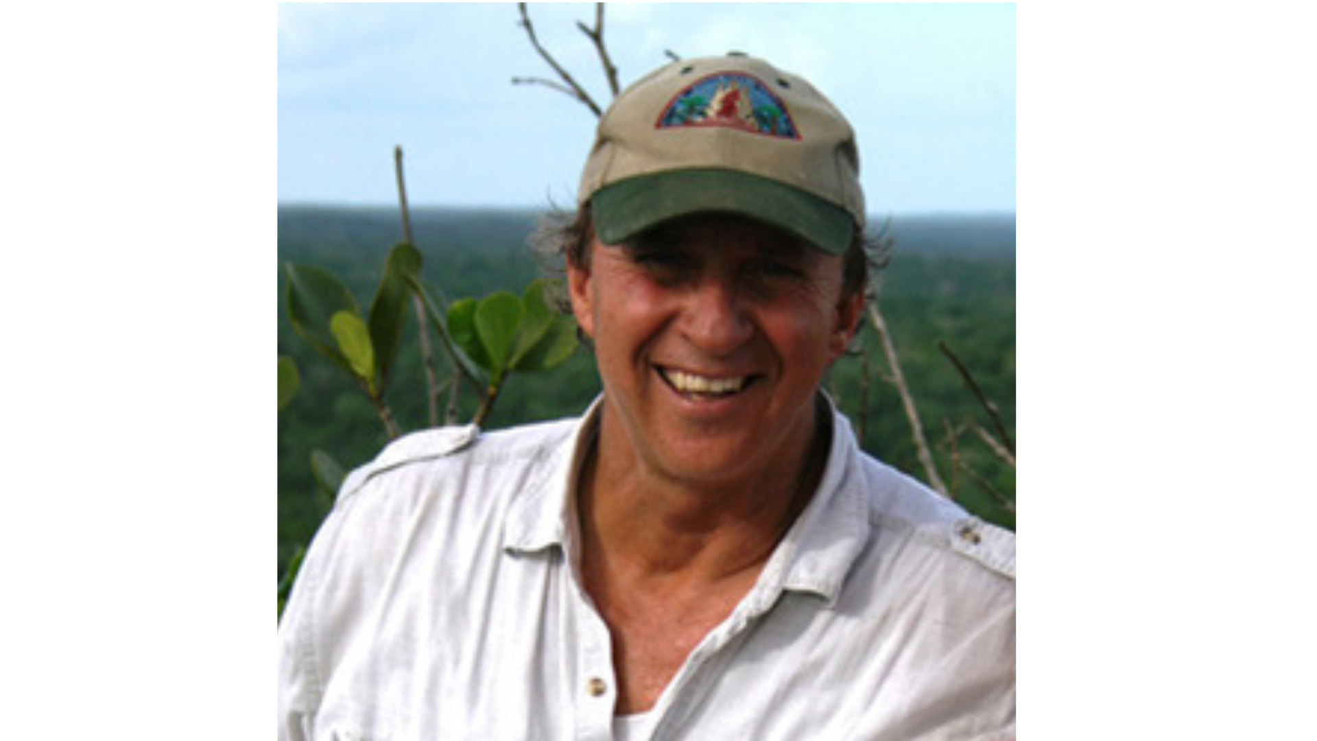
Dr. Richard D. Hansen
Affiliate Research Professor, Idaho State University
Dr. Richard D. Hansen is an archaeologist specializing in the early Maya, with over 42 years of research in northern Guatemala where he directs the Mirador Basin Project — mapping and excavating 56 ancient cities and identifying some of the largest and earliest urban centers in Central America. He is the founder of FARES, an Affiliate Research Professor at Idaho State University, and has received Guatemala's highest civilian honors including the Order of Quetzal-Gran Cruz, along with France's Chevalier des Arts et des Lettres. His work spans 228 published papers, 39 film documentaries, and conservation efforts protecting 810,000 acres of tropical forest.
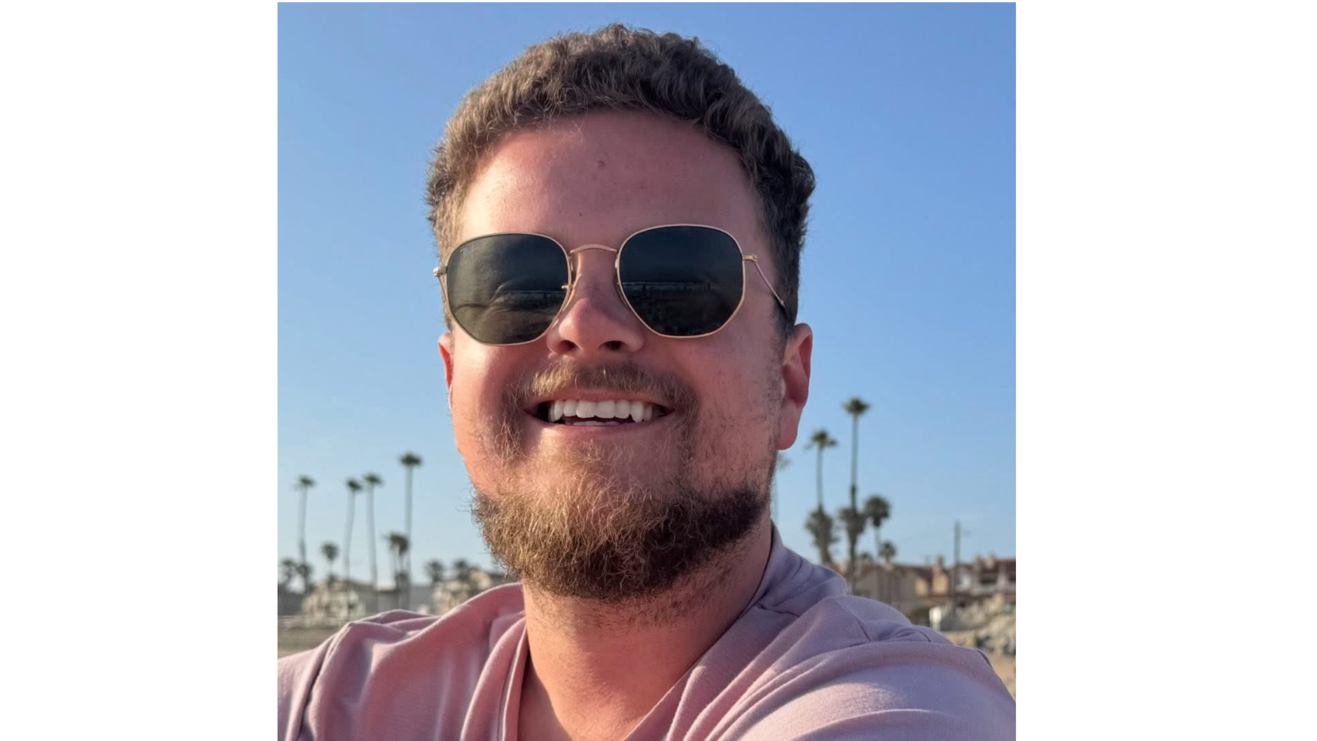
Garrett Garland
Director of Flight Servies
Garrett has been in the drone industry for over a decade, starting with the Phantom 3 series in 2015. At DronesPlus, we have always focused on selling and supporting the best of the best drone technology, which has been DJI since the dawn of the drone era. He was one of the first beta testers for the Zenmuse L1 LiDAR scanner when it was introduced into the US market, and have been testing and deploying every DJI LiDAR scanner since. I have seen the evolution of DJI and the various payloads released for the Matrice line of drones, and field tested in multiple different environments and across many applications.

