
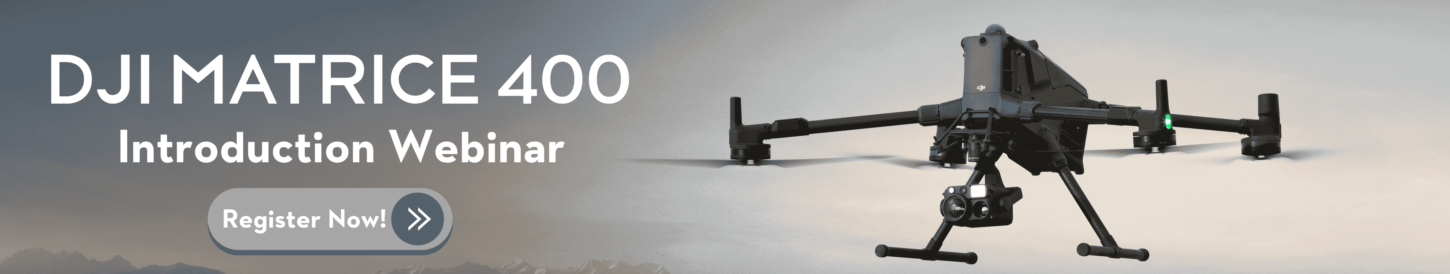
The DJI Matrice 400 (M400) delivers a comprehensive upgrade over the Matrice 350 RTK, offering improvements in flight performance, payload capacity, sensing technologies, transmission, intelligence, automation, and accessories.
1. Longer Flight Time
The M400 offers a maximum flight time of 59 minutes when equipped with a single H30T, L2, or P1 payload—nearly 50% longer effective flight time than the M350 RTK under similar conditions. This upgrade significantly enhances mission efficiency for long-duration tasks such as emergency response, large-area mapping, and corridor inspections.
| Model |
M350 RTK |
M400 |
|
Max Flight Time |
42 minutes |
59 minutes |

2. Enhanced Payload Capability
The M400 supports a maximum payload of 6 kg, with up to 7 simultaneous mounted payloads, compared to 2.7 kg and 3 payloads on the M350 RTK. The aircraft features 4 external E-Port V2 interfaces, with the E4 port expandable into 4 additional ports, increasing multi-payload capability.
| Model |
M350 RTK |
M400 |
|
Max Payload |
2.7 kg |
6 kg |
|
Max Payloads Connected |
3 |
7 |

3. Faster and More Efficient
The M400 offers superior speed across all metrics. It achieves a flight speed of 25 m/s and route speed of 25 m/s—60% higher than the M350 RTK. It also supports higher ascent (10 m/s) and descent (8 m/s) speeds.
| Metric | M350 RTK | M400 |
| Max Speed | 23 m/s | 25 m/s |
| Route Speed | 15 m/s | 25 m/s |
| Ascent Speed | 6 m/s | 10 m/s |
| Descent Speed | 5 m/s | 8 m/s |
4. Enhanced Safety and Reliability
The Matrice 400 significantly enhances obstacle avoidance through a fusion of rotating LiDAR, six-direction mmWave radar, and four full-color low-light fisheye vision sensors:
- Rotating LiDAR: Delivers high-precision 3D depth information, enabling accurate environmental modeling even in extreme lighting conditions, including strong sunlight or darkness.

- mmWave Radar: Provides strong penetration in rain, fog, and snow, capturing both range and velocity information in real-time.
- Vision Sensors: The four full-color low-light fisheye cameras capture rich visual features such as color, shape, and texture, enabling full-color flight assist displays.

Thanks to this comprehensive sensing suite, the M400 can detect fine obstacles such as overhead power lines, even when flying at night across mountainous terrain. Its all-weather system provides enhanced operational safety in rain and fog.
At 25 m/s, the M400 can detect and bypass primary grid lines (21.6 mm steel-core aluminum conductors). At 17 m/s, it can detect and avoid both primary and secondary distribution lines (12 mm). This level of obstacle avoidance is a breakthrough for UAV missions in power inspection and high-risk environments.
|
Sensor Type |
M350 RTK |
M400 |
|
Rotating LiDAR |
No |
Yes |
|
mmWave Radar |
No (optional accessory) |
Yes (6-direction) |
|
Fisheye Vision |
6-direction binocular |
4 low-light fisheye |
5. Enhanced Video Transmission
The Matrice 400 is equipped with the new DJI O4 Enterprise transmission system, which offers up to 40 km of range under FCC conditions—double that of the M350’s O3 Enterprise system. It also supports dual 4G dongles for network redundancy and airborne relay for signal extension across obstructed environments.
In addition to the standard 2.4/5.8 GHz bands, the M400 introduces support for a sub-2G transmission band, which enhances signal stability in interference-prone or long-distance scenarios. This sub-2G frequency varies by region—1.4 GHz is used in China, while 900 MHz is deployed in countries such as the United States, Canada, Australia, Japan, Brazil, Taiwan (China), Singapore, and Malaysia. Operators should ensure compatibility with local frequency regulations prior to deployment.
|
Feature |
M350 RTK |
M400 |
|
Transmission System |
DJI O3 Enterprise |
DJI O4 Enterprise |
|
Max Range (FCC) |
20 km |
40 km |
|
Airborne Relay |
Not supported |
Supported |
|
4G Transmission |
Single dongle |
Dual dongle |
|
1.4 GHz Frequency |
Not supported |
Supported |
6. Smarter Object Detection
|
Detection Mode
|
M350 RTK |
M400 |
|
Visible Light Detection (Vehicles, Boats, etc.) |
Supported (In Smart Track) |
Supported |
|
Thermal Imaging Detection |
Not supported |
Supported |
|
Third-Party Detection Model Integration |
Not supported |
Supported |
|
Object Counting & Statistics |
Not supported |
Supported |

With support for both visible light and thermal imaging, the Matrice 400 offers enhanced detection capabilities when paired with the Zenmuse H30 series. It can intelligently identify targets such as vehicles and vessels, switch between different detection models, and automatically count objects within its field of view.
7. Advanced Automation
The Matrice 400 supports enhanced mission execution features such as real-time obstacle bypass during L2-guided routes, and flight path planning for slopes, geometric structures, and building facades. These capabilities are managed through DJI Pilot 2 or FlightHub 2, greatly streamlining complex operational workflows without requiring constant manual control. In comparison, the M350 RTK supports only basic flight path execution.
|
Function |
M350 RTK |
M400 |
|
L2 Line Following |
Supported |
Supported + obstacle bypass |
|
Slope & Geometric Routes |
Not supported |
Supported |
|
Smart 3D Capture |
Not supported |
Supported (with P1 payload) |
|
FH2 Mission Planning |
Not supported |
Supported |
8. AR Features for Awareness
The M400 introduces rich AR overlays on the controller screen—visualizing powerlines, route paths, map data, and landing points. Operators gain more spatial awareness and planning clarity, reducing risks during complex operations.
|
M350 RTK |
M400 |
|
|
AR Powerline Overlay |
Not supported |
Supported |
|
AR Map Display |
Not supported |
Supported |
|
AR Return Path Projection |
Not supported |
Supported |
|
AR Landing Point Visualization |
Not supported |
Supported |
|
AR Area Drawing & Measurement |
Not supported |
Supported |
AR Powerline Warning
AR Map Labels
AR Return Path
AR Landing Point Visualization
AR Drawing and Measurement
9. Intelligent Flight Modes
|
M350 RTK |
M400 |
|
|
Real-Time Terrain Follow |
Not supported |
Supported |
|
Ship-Based Takeoff/Landing |
Not supported |
Supported |
|
Cruise Mode |
Not supported |
Supported |
|
FlyTo Target Point |
Not supported |
Supported |
|
POI Orbiting |
Not supported |
Supported |
|
Observed View |
Not supported |
Supported |
- Real-Time Terrain Following
This feature enables the aircraft to maintain a constant relative altitude to the ground while flying manually or along pre-defined flight routes.
It is especially useful in mountainous regions or during low-altitude mapping, ensuring consistent ground sampling distance (GSD) and reducing the need for constant zoom or manual altitude adjustments.
- Ship-Based Takeoff and Landing
M400 can take off from stationary or slow-moving vessels and accurately land by recognizing deck patterns.
This capability significantly expands operational scope to offshore environments such as maritime patrol, wind farm inspection, or rescue missions at sea.
- Cruise Mode
With Cruise Mode, the pilot can set the drone to fly continuously in a given direction at a constant speed—without needing to press the control sticks.
This mode is ideal for long-distance linear inspections (like pipelines or roads), reducing pilot fatigue and improving path consistency. - FlyTo Target
In emergency or dynamic scenarios, this feature allows the drone to automatically calculate the optimal flight path and speed to reach a designated target.
It adapts to real-time environmental inputs (e.g., obstacles, terrain) to ensure a safe and efficient approach.
- POI (Point of Interest) Orbiting
POI mode enables the aircraft to circle around a designated object or area while keeping the camera focused on it. This function is particularly valuable for structural observation, 3D modeling, and video capture, as it allows stable and smooth perimeter coverage without complex manual control.
- Observed View
The system can display previously observed ground areas and the camera center's current location directly on the remote controller map.
This real-time feedback allows operators to avoid redundant coverage and ensure all intended targets or zones are inspected or captured.
10. Ecosystem and Accessories
|
M350 RTK |
M400 |
|
|
Manifold 3 Onboard Computing |
Not supported |
Supported |
|
Remote Controller |
DJI RC Plus |
DJI RC Plus 2 Enhanced |
|
Battery Type |
TB65 |
TB100 High-Density Battery |
|
Battery Station Charge Time (0 to 100%) |
60 minutes |
45 minutes (220V) |
|
Tethered Battery Support |
Not supported |
Supported (TB100C) |

11. Spotlight & Speaker Enhancements
S1 spotlight
|
M350 RTK |
M400 |
|
|
S1 Spotlight Beam Alignment |
Not supported
|
Supported
|
|
Brightness (Lux @ 100m) |
35 lux
|
40 lux |
|
Dual Spotlight Control |
Not supported |
Supported |
|
Multilingual Voice Modes |
Limited
|
Supported |
|
AR Directional Broadcasting
|
Not supported |
Supported |
V1 speaker
|
M350 RTK / M300 |
M400 |
|
|
Max Volume (V1) |
127 dB @ 1m
|
129 dB @ 1m
|
|
Effective Broadcast Distance |
500 m |
700 m
|
|
Broadcast Modes |
Recording / Text / Audio |
Live / Recording / Text / Audio |
|
Howling Suppression |
Not supported |
Supported |
|
Supported Languages |
Chinese, English |
Chinese, English, Spanish, Korean, Japanese, French |
|
Simultaneous Broadcast and Transmission |
Not supported |
Supported |
|
Directional Audio (AR Projection) |
Not supported |
Supported |
|
Volume Auto-Adjustment |
Not supported |
Supported |
Notes:
* Please check, confirm, and strictly comply with local laws and regulations before flying.
** All specifications listed on this page are based on controlled tests with mass-production DJI M400 units and are for reference only. Results may vary depending on environmental conditions, usage methods, and firmware versions. Please refer to your actual experience.
*** All videos and images shown on this page were captured in full compliance with local laws and regulations. Wildlife footage was taken from a safe distance. All samples are for illustrative purposes only. Please ensure your drone is certified and flight-compliant before operation.
**** The M400 must be activated through the DJI Pilot 2 app before use.


-3.png?width=300&name=Insight%20blog%20featured%20image%201140X660%20(2)-3.png)
-2.png?width=300&name=Insight%20blog%20featured%20image%201140X660%20(2)-2.png)