


Brad Li
Sales Leader for Geospatial Products at DJI Enterprise
Brad graduated from China University of Mining and Technology (Beijing) with a major in Surveying and Mapping Engineering, and has over 15 years of experience in the surveying and mapping industry. He has worked for Leica Geosystems for 10 years and Microdrones for 3 years. Brad has rich experience in the mining, construction and engineering industries, and has in-depth research on LiDAR technology.
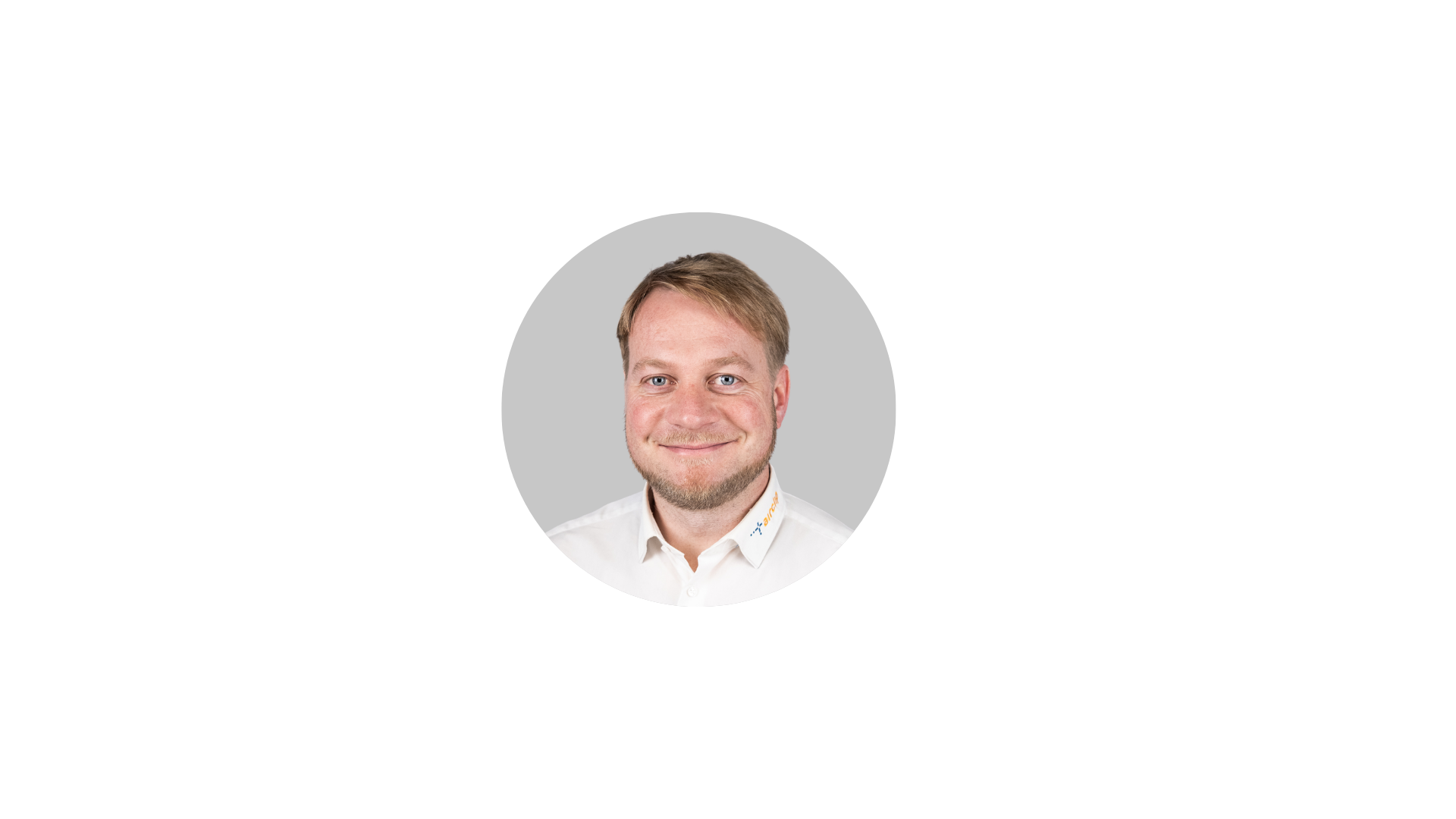
Lucas Günther
CEO at Airclip
Lucas Günther is CEO and co-founder of Airclip, a DJI Enterprise S-Grade dealer based in Dresden, Germany. Airclip helps businesses in forestry, construction and infrastructure adopt drone-based 3D surveying with the Zenmuse L3 and trains pilots across the DACH region to integrate LiDAR data into their own workflows.
-Oct-07-2026-04-00-32-5011-PM.png)
Daniele Zanini
Technical Director at ND SURVEY srl
Daniele Zanini is a surveyor and co-founder of ND Aerial Service. An electronics technician by training and UAS pilot since 2020, he specializes in LiDAR data processing and geospatial workflows, with extensive hands-on experience turning drone data into reliable deliverables for surveying projects.
-4.png?width=1920&height=1080&name=For%20Webinar%20(3)-4.png)
Roberto Pargalia
Business Development Manager at 3D Target
Roberto Pargalia is Business Development Manager at 3D Target, an Italian provider of professional surveying and inspection technology since 2008. With a practical, results-driven approach, he works daily with customers and partners to turn drone, LiDAR and laser scanning solutions into measurable value for their business.
-3.png)
Luka Zalovic
Product Manager at Geo-centar
Luka Zalovic is a Product Manager at Geo-centar Croatia, a company providing advanced surveying and geospatial technologies from leading global manufacturers. He holds a PhD in Geodesy and Geoinformatics from the University of Zagreb. His work combines technical expertise and practical experience with surveying, UAV, LiDAR and geospatial technologies.