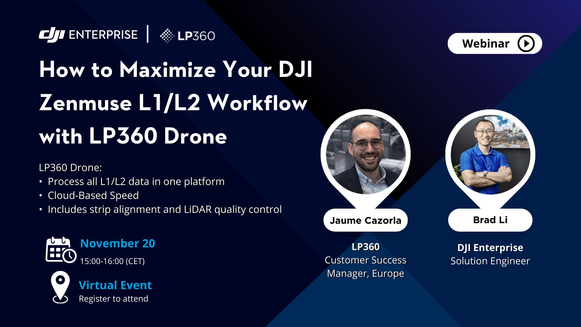
How to Maximize Your DJI Zenmuse L1/L2 Workflow with LP360 Drone
Wednesday, November 20 | 15:00-16:00 CET
About the Webinar
Brad Li from DJI will guide you through the features and benefits of the DJI Zenmuse L2, sharing insider tips to help you maximize data collection efficiency and accuracy for top-quality results. Then Jaume Cazorla, from LP360, will show you how LP360 Drone simplifies your workflow by integrating all essential processing steps into one platform, allowing you to turn raw data into polished deliverables quickly and efficiently.
DJI Zenmuse L2:
- High-Precision Accuracy: 4 cm vertical, 5 cm horizontal- Exceptional Efficiency: Captures 2.5 km² per flight with geospatial and RGB data
- Easy Operation: Turnkey solution with Matrice 350 RTK
LP360 Drone:
- Seamless Integration: Process all L1/L2 data in one platform- Cloud-Based Speed: Faster processing and resource optimization
- Advanced Tools: Includes strip alignment and LiDAR quality control

***This webinar is a recording, you can leave your question and we will come back to you within 24 hours.
Webinar
Speakers
.png?width=583&height=224&name=Webinar%20speaker%20picture%20resize%20(1).png)
Brad Li
Solution Engineer | DJI Enterprise
Brad graduated from China University of Mining and Technology (Beijing) with a major in Surveying and Mapping Engineering, and has over 15 years of experience in the surveying and mapping industry. He has worked for Leica Geosystems for 10 years and Microdrones for 3 years. Brad has rich experience in the mining, construction and engineering industries, and has in-depth research on LiDAR technology.
.png?width=583&height=224&name=Webinar%20speaker%20picture%20resize%20(1).png)
Jaume Cazorla
Customer Success Manager, Europe | LP360
Jaume, is a Geomatics Engineer at LP360 who has 10 years of experience in geomatics engineering operations and software. He is skilled in managing survey teams, 3D modeling, mobile mapping, geodetic network specialist and UAV photogrammetry
Webinar
Our Partner
