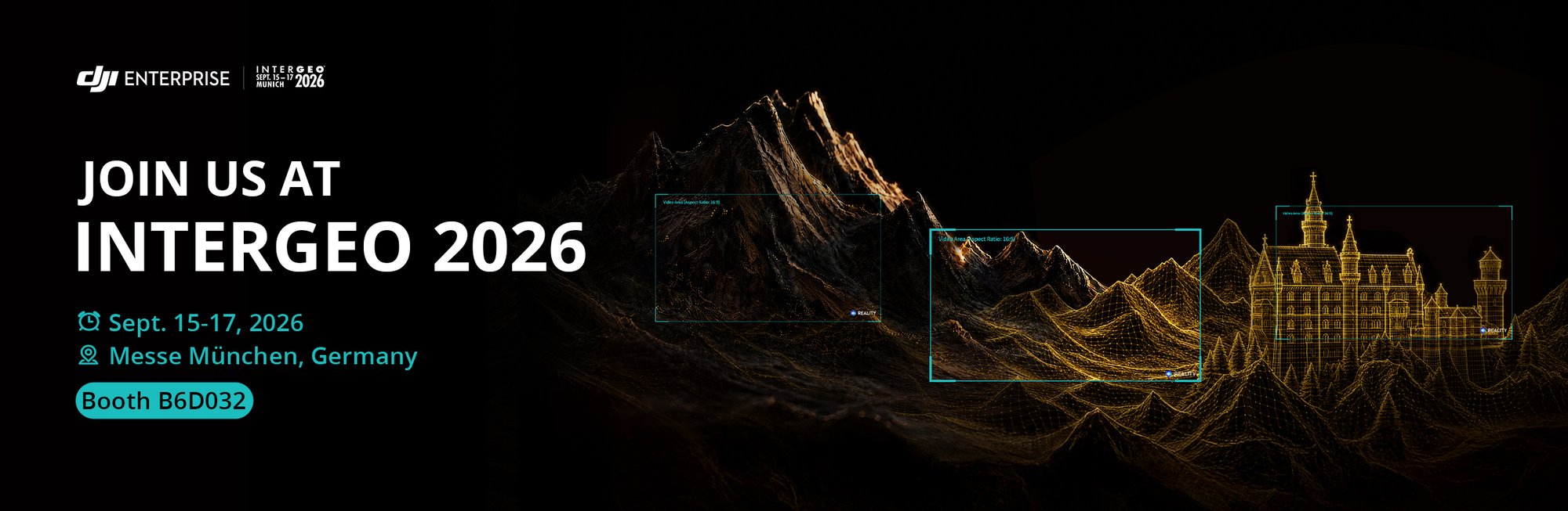
You can claim a free ticket with the code: IG26-DJI
Solutions You'll See
High-Precision Surveying
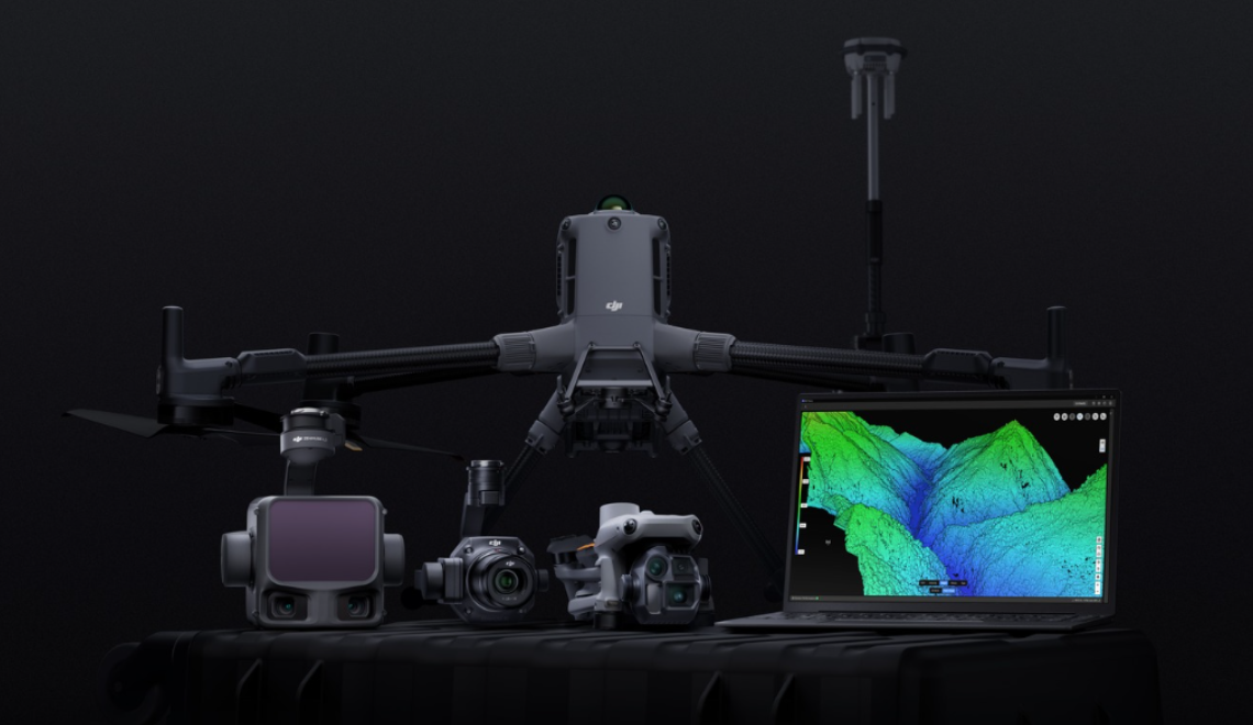
A complete surveying workflow built around the DJI Matrice 400, paired with Zenmuse P1, L3, D-RTK 3 and DJI Terra, Modify, Reality — complemented by a dedicated parachute solution for safer flights over sensitive sites.From aerial capture to precise positioning and 3D reconstruction, the workflow supports both large-scale topographic surveys and detailed modeling, helping teams work faster with higher accuracy.

AEC Applications
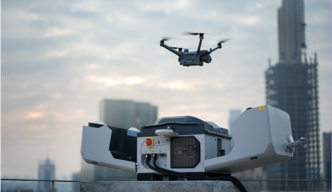
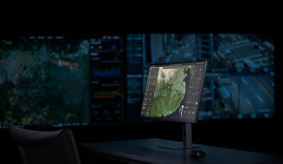
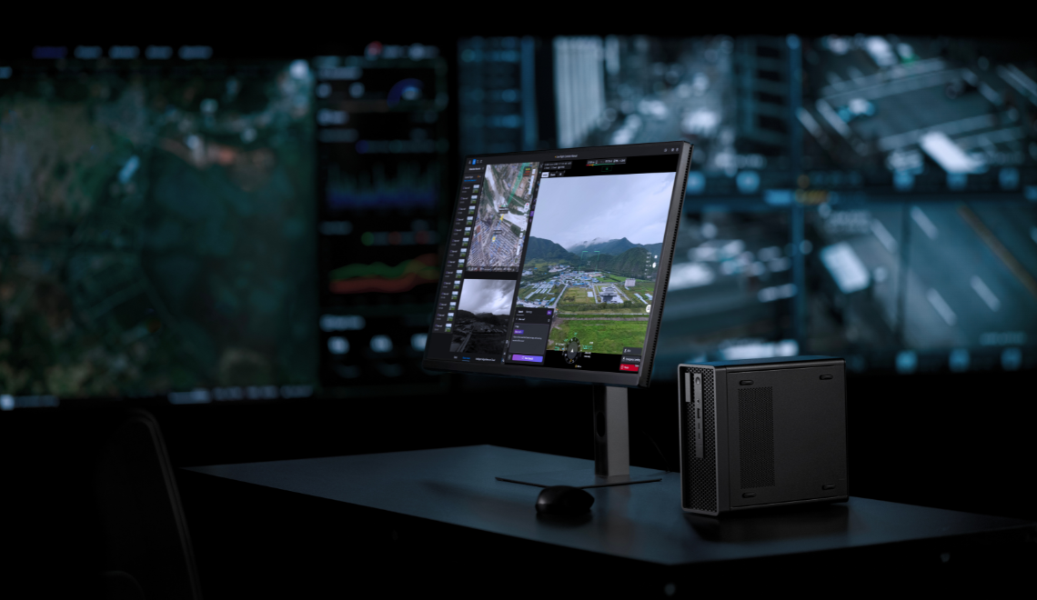
See how DJI streamlines architecture, engineering and construction with the DJI Dock and its integrated devices, paired with FlightHub 2. Enabling automated, recurring site capture and inspection, it supports progress tracking, structural and safety monitoring, cuts manual on-site work and shortens data cycles—making project management more transparent and timely.
Heritage Preservation
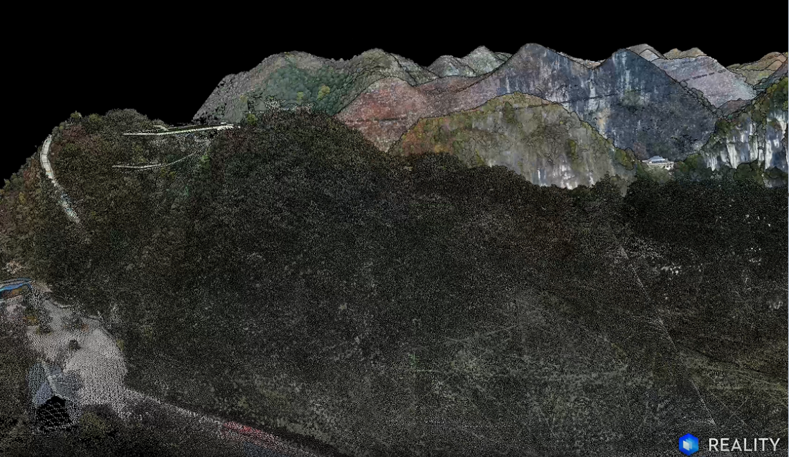
Explore the inspiring artworks from DJI's World Heritage 3D Conservation Initiative on-site! Through high-precision, contactless 3D reconstruction of relics, historic buildings and sites, it creates lasting digital archives for restoration, monitoring and research—helping preserve precious cultural heritage.
Full Workflow
High-Precision Surveying & 3D Reconstruction
Planning to visit Intergeo? Schedule a Meeting with the DJI Team
Explore the latest Geospatial solutions and engage with DJI Enterprise team and partners at Intergeo.
Submit the form on the right to request a meeting with out team. All submissions will be review and we will feedback the meeting details if successful.
Please submit before September 9th
Submit a meeting request
Speech
Agenda coming soon. Stay tuned!
0
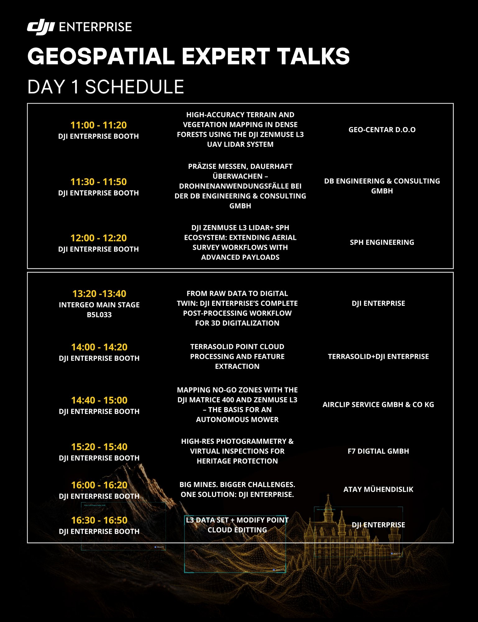
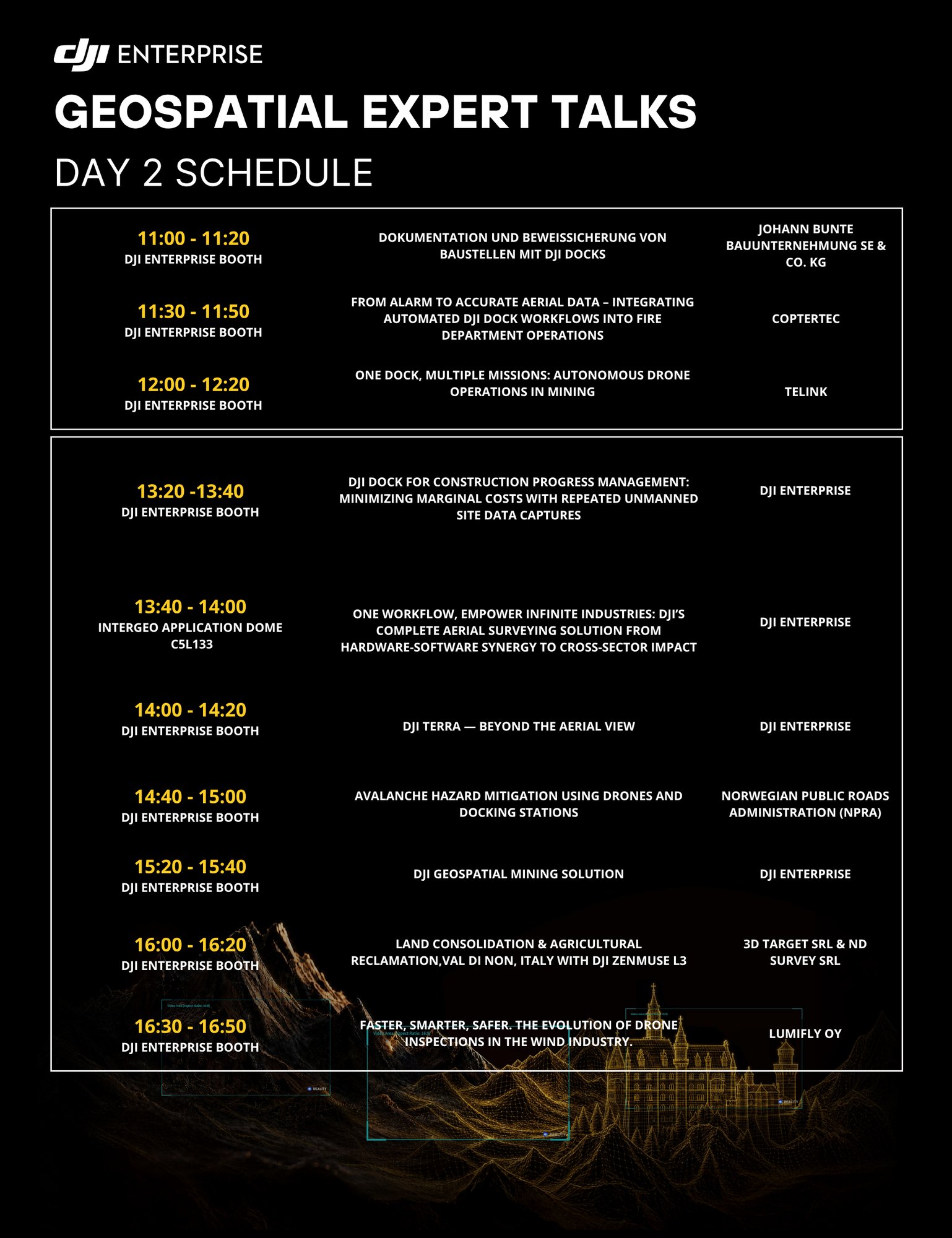
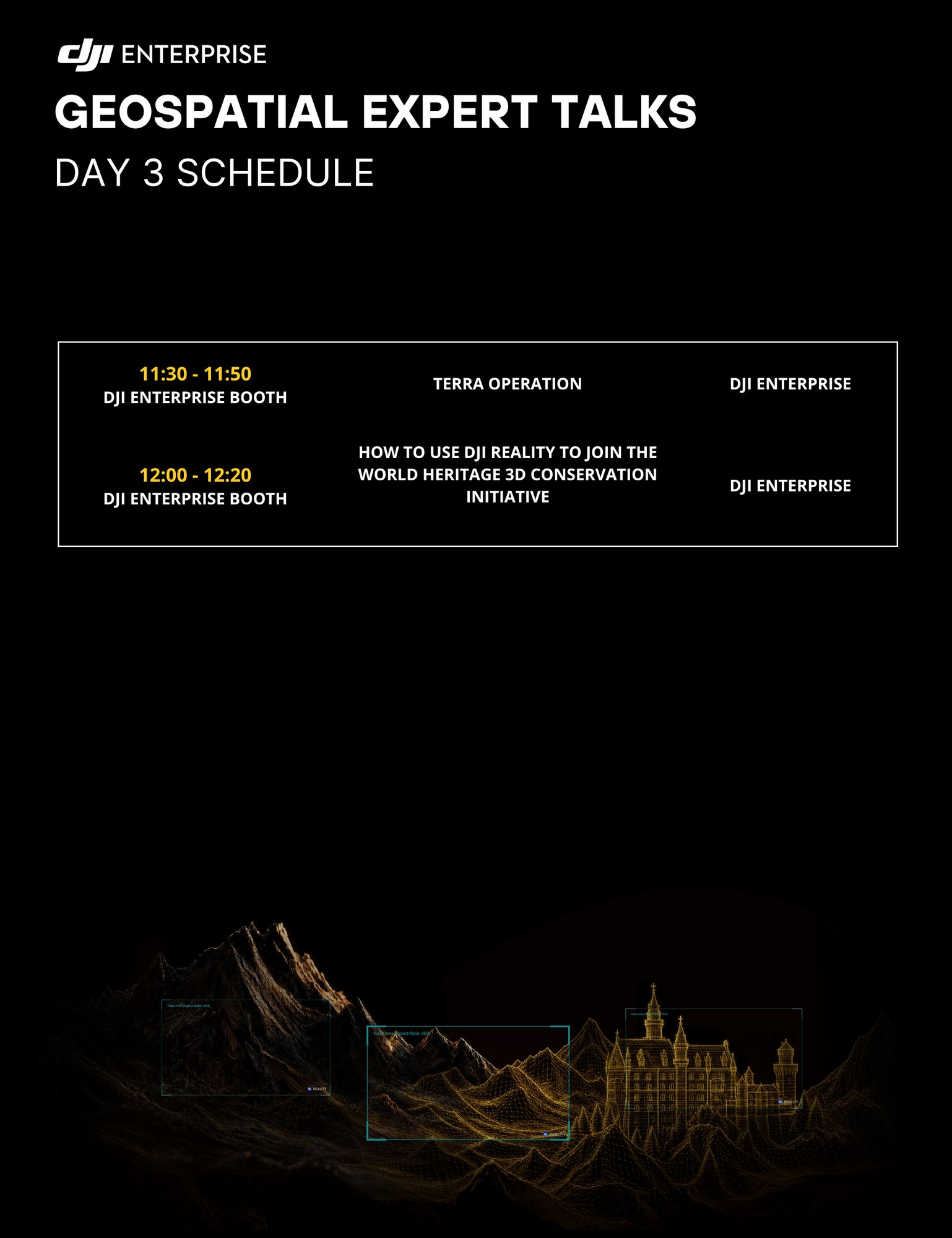
Intergeo Stage Speeches
0
DJI Enterprise Booth Speeches
Visit More Partners
Other Articles