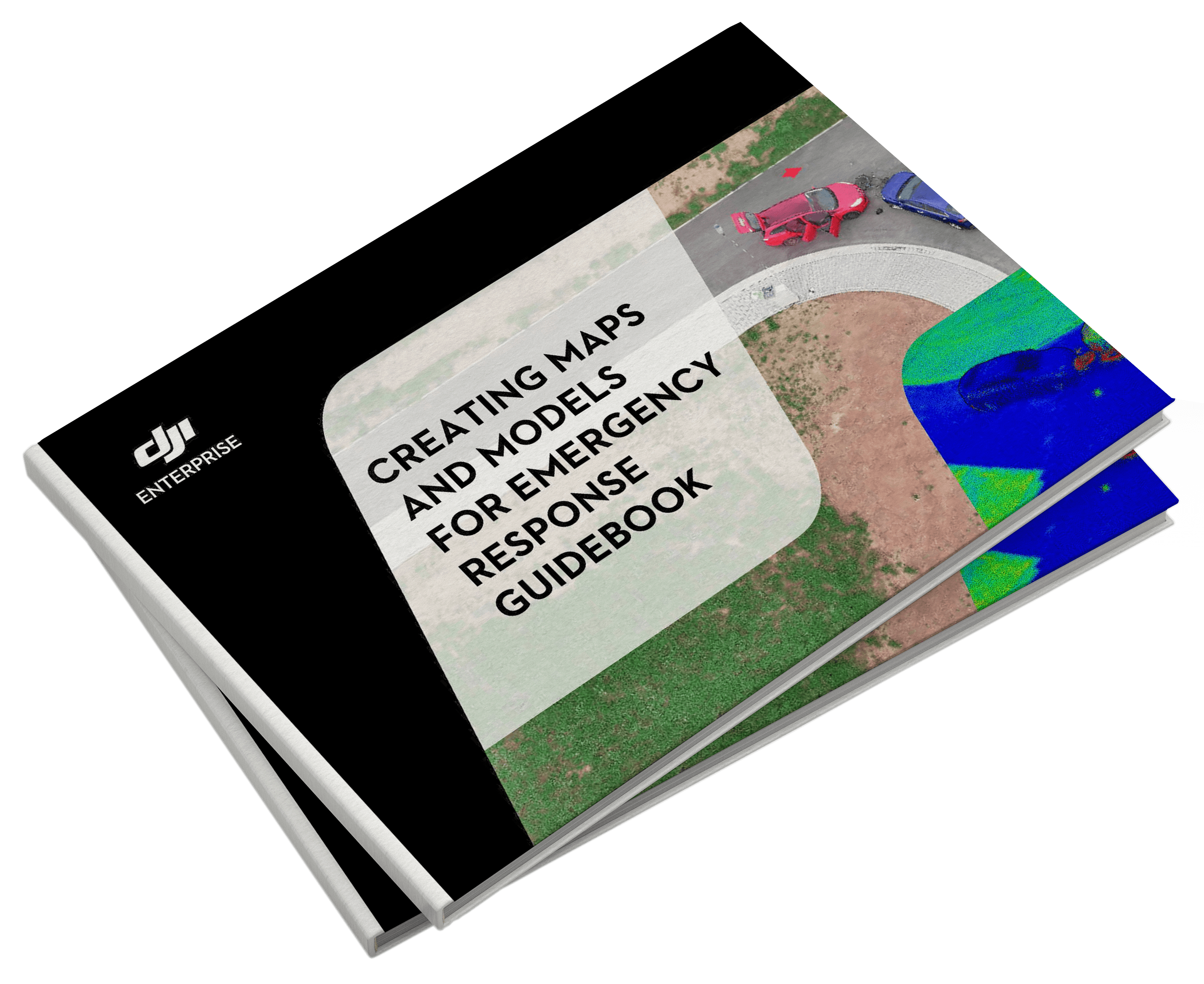
Creating Maps and Models for Emergency Response
Learn everything about using drones and software to gather geospatial data for better situational awareness

Comprehensive Guide on Using Drones and Software for Emergency Response

About:
A major opportunity for Public Safety professionals lies in re-thinking the concept of situational awareness. Gaining a top-down or 3D view is key to fully comprehending a given area.
Integrating GIS into emergency response has improved mission planning, responding, and analysis even in the most challenging disasters. In this guidebook, you will learn why Public Safety professionals are adopting mapping and modeling into their workflows, to help with their response. It will also cover why you can use DJI Pilot and DJI Terra to produce quick and reliable maps to help with emergency response.
WHAT'S IN THE GUIDEBOOK
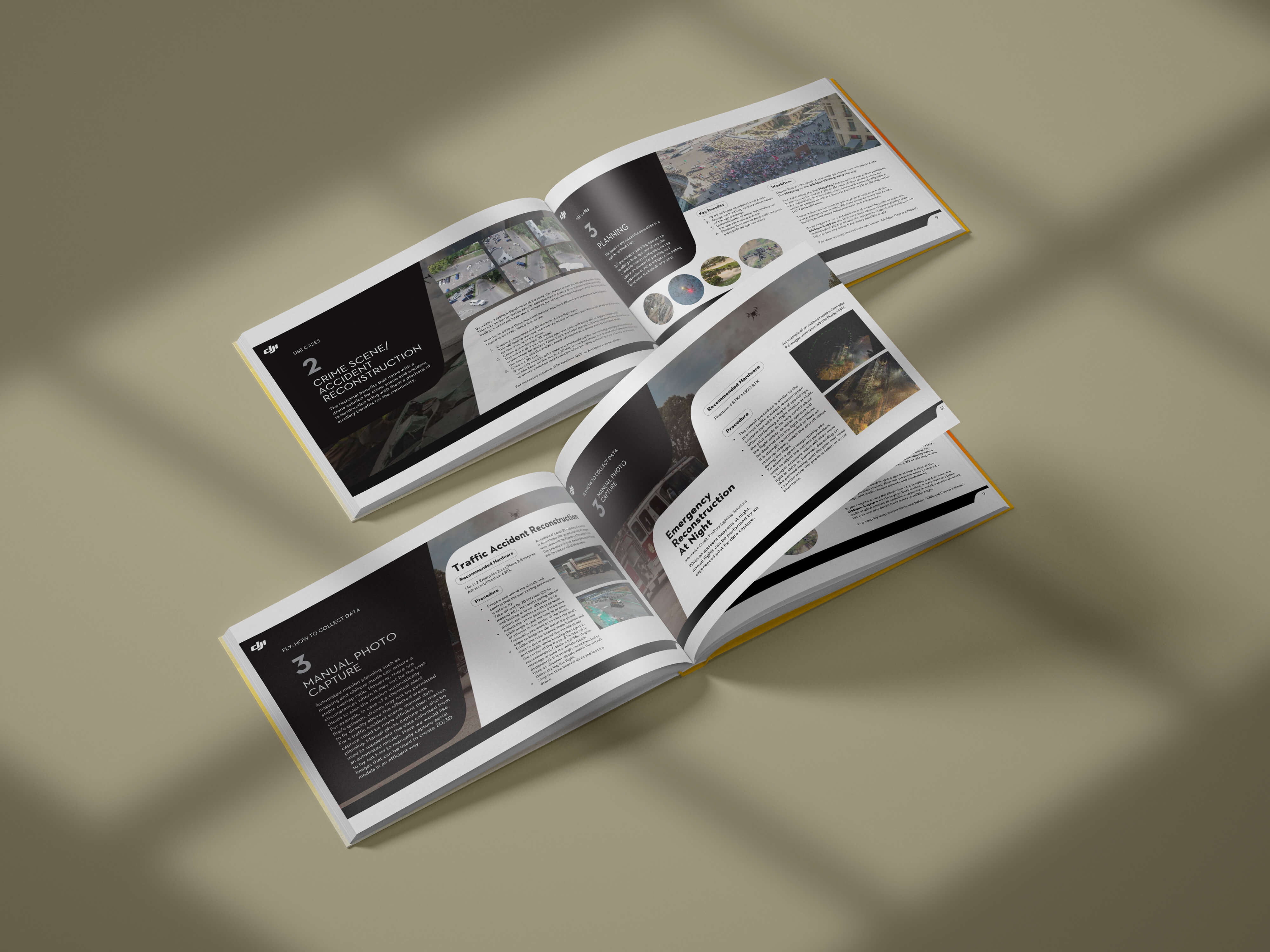
- - Why is geospatial data valuable for emergency response
- - Type of maps that can be gathered with drones
- - Use Cases: post disasters, accident reconstruction, wildfires, post-fire prevention
- - Step-by-step guide on collecting data with DJI drones and processing geospatial data with DJI Terra
- - Choosing the right hardware
