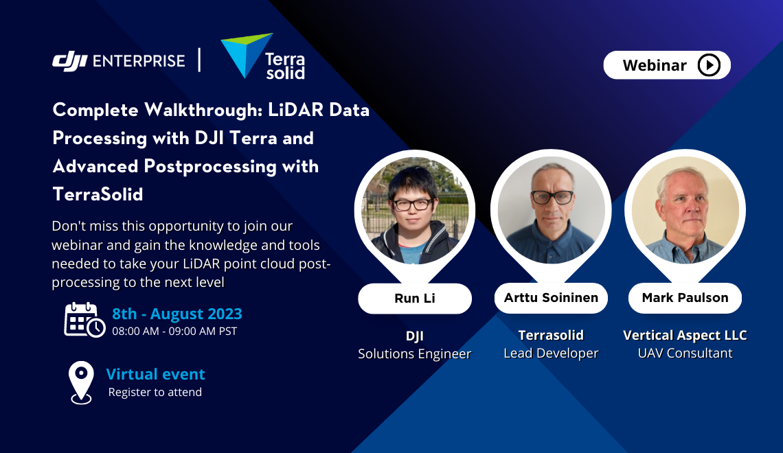
Meet The Panelists

Arttu Soininen
Terrasolid - Lead Software Developer
Arttu Soininen is the head software developer at Terrasolid.
He has 30 years of development experience on survey data processing software and 22 years of experience on LiDAR processing software.
He is the main developer of world leading software applications for airborne LiDAR and image processing: TerraScan, TerraMatch, TerraPhoto and TerraModeler.

Mark Paulson
Vertical Aspect LLC - UAV Consultant
I have been surveying for over 50 years and registered as a professional surveyor in Texas in 1979.
I am also a private pilot, which started my interest in photogrammetry. I purchased my first drone, the original eBee, approximately ten years ago. Shortly after, I bought a Phantom 1 and experimented with mapping. I progressed through the different DJI drones, including the Inspire One. The first DJI drone that was a giant leap forward for the surveying mapping industry was the Phantom 4 RTK. The next big advancement was the M300 with lidar, which I currently use.
.png?width=796&height=797&name=Arttu%20(2).png)
Run Li
DJI - Solutions Engineer
Run Li is a Solutions Engineer at DJI Enterprise, specializing in the development of innovative geospatial solutions using unmanned systems. With a strong focus on optimizing adaptive daily UAV operations, Run Li's contributions have been instrumental in driving the advancement of next-generation solutions at DJI Enterprise. Through his industry insights and expertise, he has played a vital role in shaping the development and success of DJI's geospatial offerings.
Special Thanks to our Partners


