Do more with the teams you have, with DJI drones | DJI Enterprise

DJI ENTERPRISE

Southeast Asia
Public Safety Campaign

Do more with the teams you have, with DJI drones.
Cover more, respond faster and manage smarter.

See how DJI drones support daily operations and emergency response across Southeast Asia, with real cases from around the world.

Cover more.Extend the view beyond ground patrols
Respond faster.Get aerial information earlier
Manage smarter.Plan with shared, recorded information

Southeast Asia in action

Real places.
Real operational needs.

From city streets to agricultural sites, local teams are adding an aerial view to the work they already do.

INDONESIA / THAILAND / PHILIPPINES
5 LOCAL CASE STUDIES

DJI Enterprise official video cover: Thailand

Thailand

Drone as First Responder

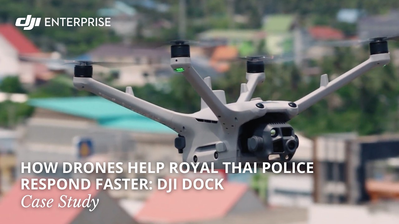
Help Royal Thai Police respond faster.

Drones support Royal Thai Police operations, helping officers respond faster, according to the official DJI Enterprise case study.

The full case study shows how the drone program is used in practice.

DJI Enterprise droneWatch case study
DJI Enterprise official video cover: Sumedang, Indonesia

Sumedang, Indonesia

City management

Aerial patrols, built into city infrastructure.

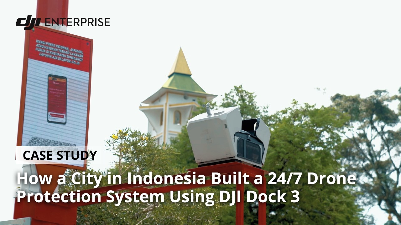
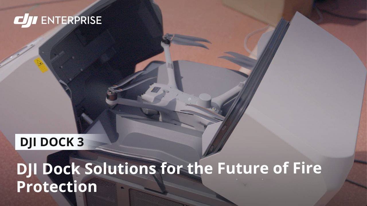
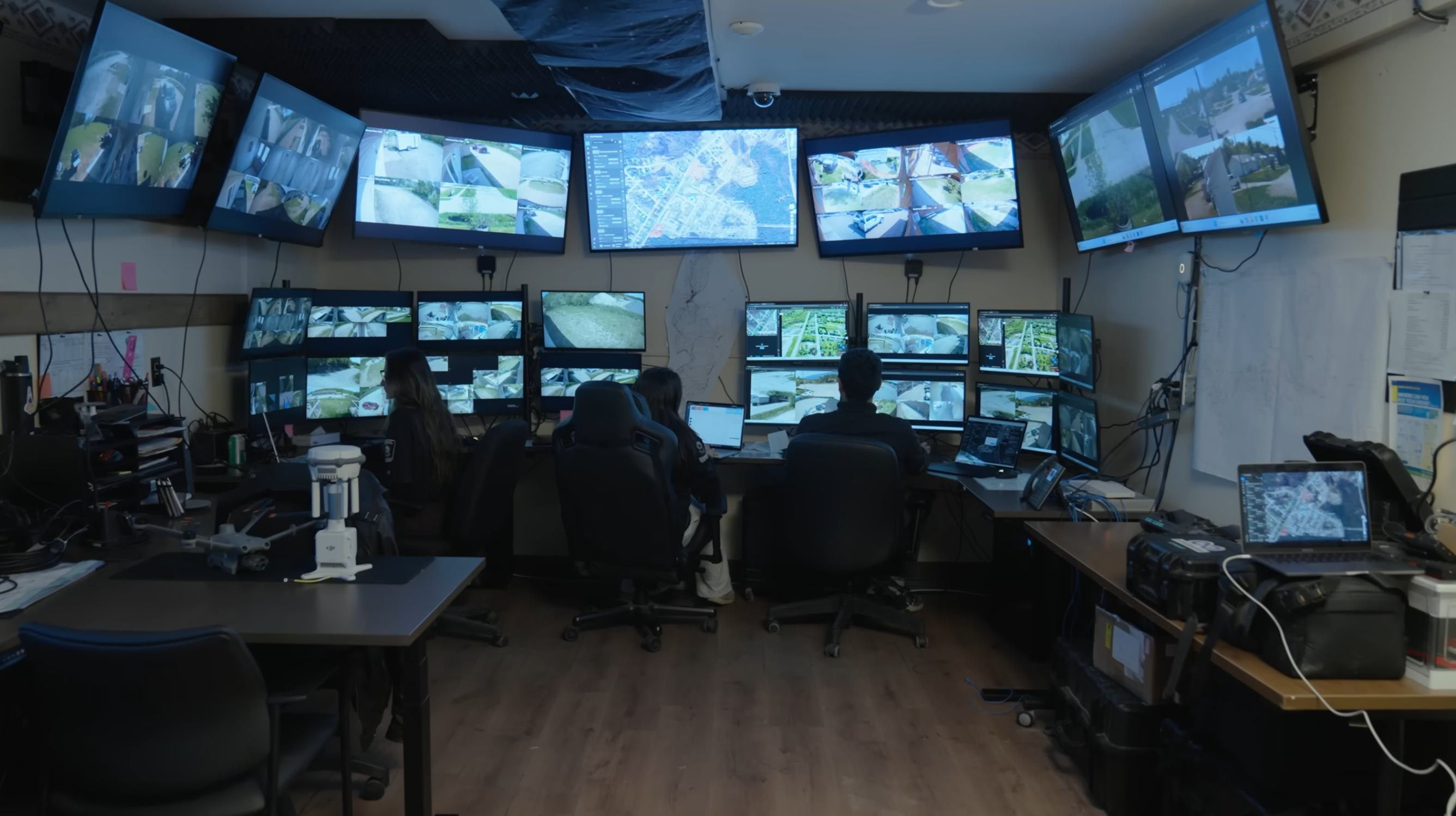
In Sumedang, West Java, DJI Dock 3 is integrated into the Smart Pole network for city monitoring, with remote command from a central operations center.

Automated takeoff and landing deliver real-time aerial information, while each mission is automatically documented and recorded.

DJI Enterprise official video cover: Chiang Mai, Thailand

Chiang Mai, Thailand

Fire response

Locate hotspots. Guide the response.

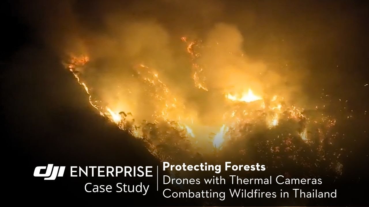
Forest authorities, provincial teams and volunteers in Chiang Mai use drones to assess hotspots and embers across mountainous terrain.

Thermal imagery and GPS information help coordinate firefighting helicopters and ground crews. DJI describes improved air-ground coordination as a benefit of the workflow.

Thermal imagingWatch case study
DJI Enterprise official video cover: Harbor Star, Philippines

Harbor Star, Philippines

Oil spill response

Track a changing spill from the air.

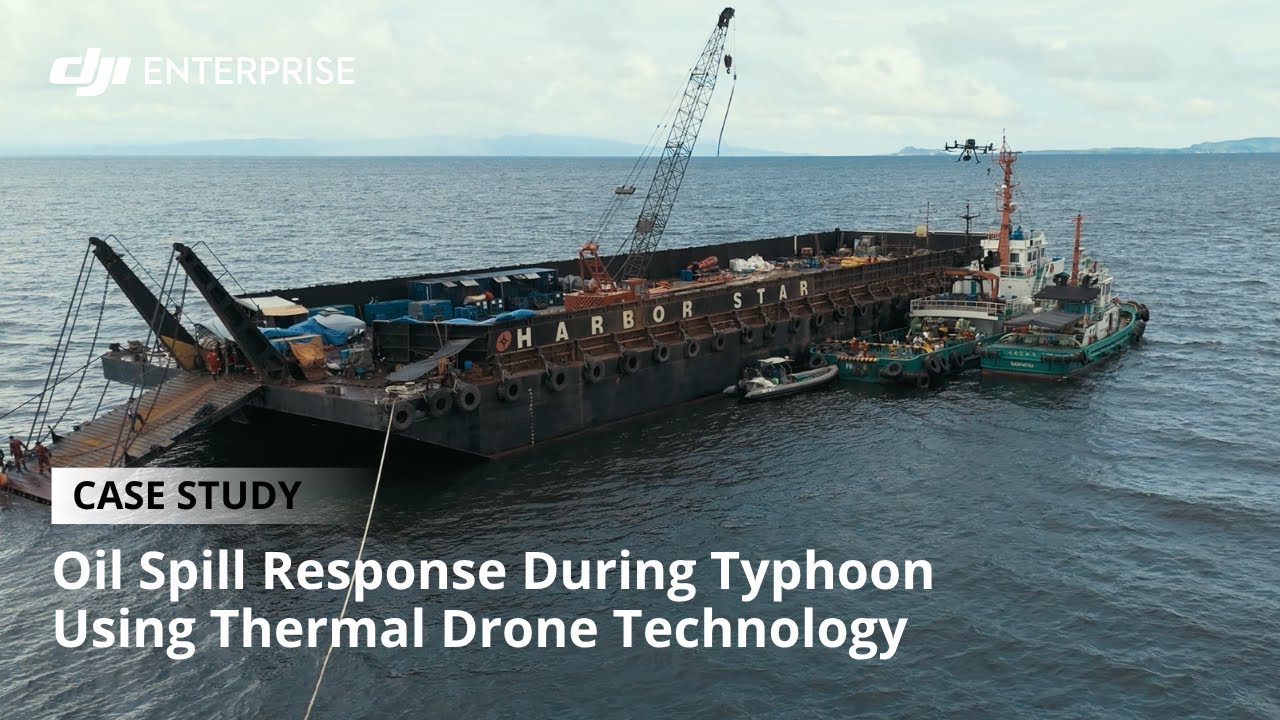
During Typhoon Gaemi, Harbor Star Shipping Services faced an oil-spill emergency at sea in the Philippines.

With support from Techdynamics OPC, drones supplied hourly thermal imagery and real-time data to guide tugboats. The case documents aerial information supporting the containment operation.

Aerial monitoringWatch case study
DJI Enterprise official video cover: Dole, Philippines

Dole, Philippines

Site security

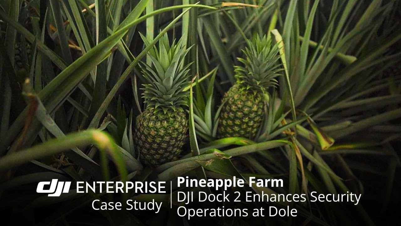
Extend the security team's patrol reach across pineapple fields.

Dole's Philippine pineapple-growing operation faced unauthorized access and fruit theft. DJI Dock 2 and FlightHub 2 added aerial monitoring alongside its security team.

DJI's case article reports detected theft attempts during testing and multiple apprehensions within four months of full-scale operation.

Read the article
DJI Dock 2 + FlightHub 2Watch case study

Six public safety applications

One aerial perspective.
Different ways to put it to work.

Explore the challenge, the drone workflow and the operational gain behind each theme.

Drone as First Responder

Earlier information. Better-informed response.

01 Challenge
Ground teams may be dispatched before they have a clear picture of an incident.
02 Drone in action
A drone launches from a dock and streams live video to the response team.
03 Operational gain
Teams can assess the scene while ground units are on the way.

Global case studies

In Southeast AsiaThailand
DJI Enterprise official video cover: Wiikwemkoong, Canada

Wiikwemkoong, Canada

Community-led response

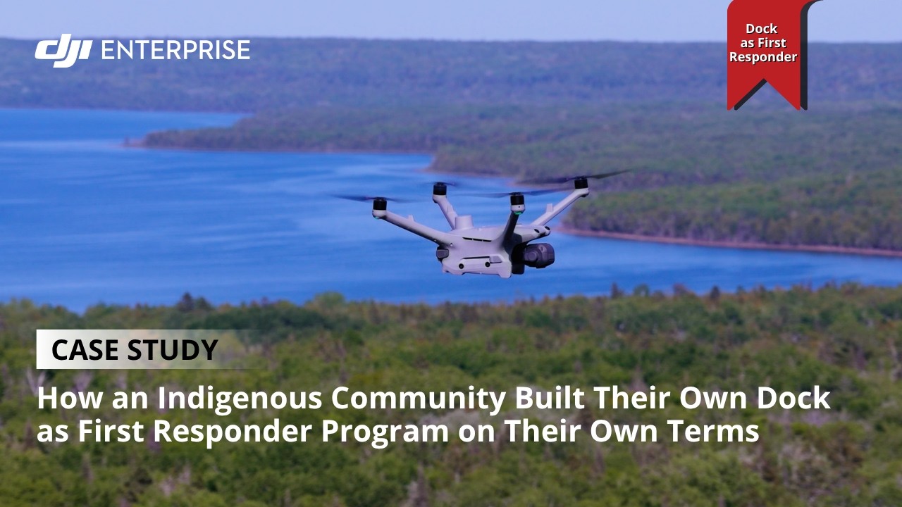
A community-led aerial response program.

Wiikwemkoong built a community-owned drone program on Manitoulin Island. Fixed cameras had limited sightlines, and manual drone deployment involved sending crews to the location.

Pre-positioned docks and thermal-equipped drones support searches. DJI's article describes a drone locating a missing elder in darkness, helping emergency services reach them.

Read the article
DJI Enterprise official video cover: Daegu, South Korea

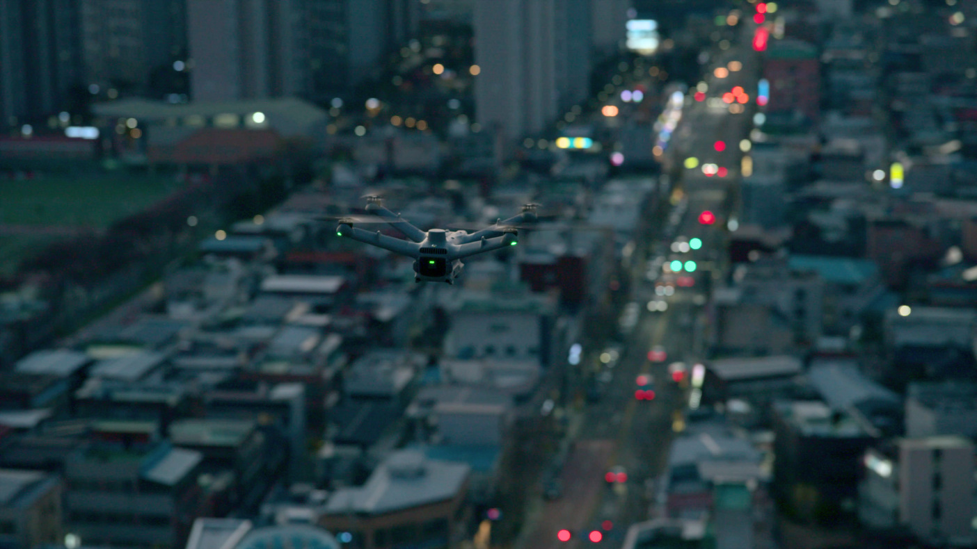
Daegu, South Korea

Night patrol

Add aerial visibility to night patrols.

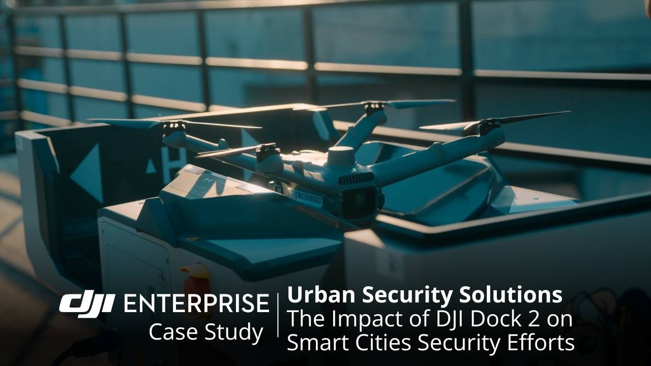
Daegu uses DJI Dock 2 for urban security, including nighttime monitoring and emergency-response applications.

Automated patrols provide real-time aerial information. DJI describes improved emergency response as a benefit, without publishing a measured change in response time or crime levels.

City Management

Wider visibility. More coordinated operations.

01 Challenge
City monitoring and event security involve observing conditions and coordinating teams across an operating area.
02 Drone in action
Aerial patrols collect imagery and record missions in a shared operations platform.
03 Operational gain
Teams gain a broader view and a documented record to support daily management.

Related global applications: event security and coordinated crowd monitoring.

DJI Enterprise official video cover: Guardia Civil, Spain

Guardia Civil, Spain

Event security

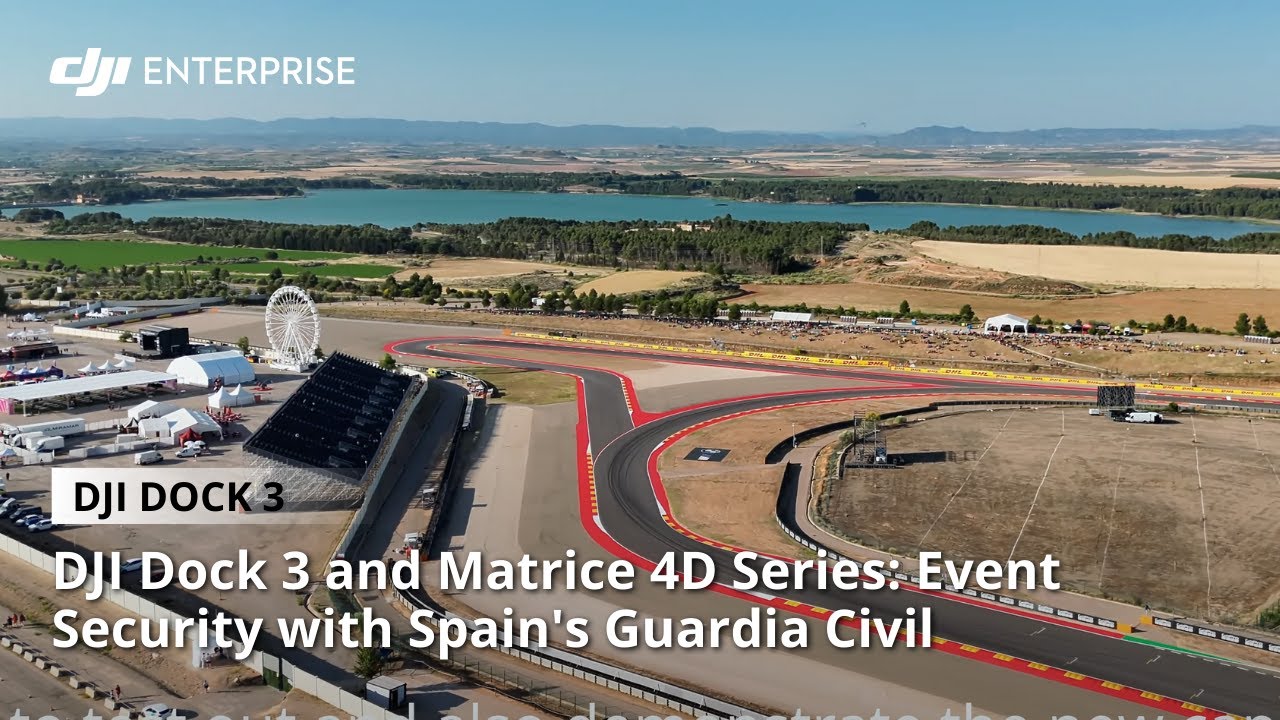
A wider view of circuits and crowd zones.

Spain's Guardia Civil used DJI Dock 3 and the Matrice 4D Series for motorsport event security, with project support from MCR Pro.

The deployment combined aerial patrols and real-time information to support crowd safety. The official account does not report an incident-reduction figure.

DJI Dock 3 + Matrice 4D SeriesWatch case study
DJI Enterprise official video cover: Boardmasters, United Kingdom

Boardmasters, United Kingdom

Event security

Connect aerial observation with ground teams.

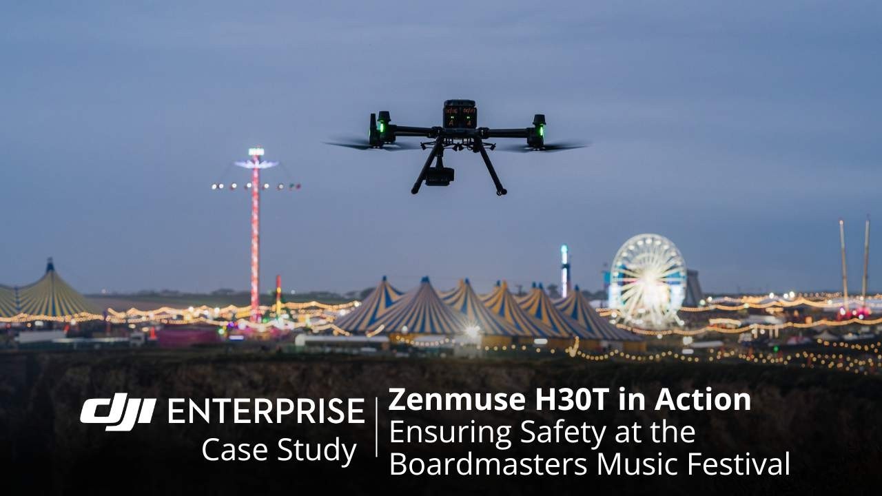
At Boardmasters 2024, hosting up to 60,000 people, Devon and Cornwall Police used Matrice 350 RTK with Zenmuse H30T for crowd and traffic monitoring.

Live aerial views, thermal imaging and night vision supported ground-team coordination. Police and organizers reported precise direction of units and strategic resource deployment.

Read the article
DJI Zenmuse H30TWatch case study

Traffic Management

Verify the incident. Inform the dispatch.

01 Challenge
Traffic controllers need current information on incidents, queues and access routes.
02 Drone in action
Live aerial video and zoom help operators assess conditions from above.
03 Operational gain
Dispatch and routing decisions can be based on observed conditions.

Global case studies

DJI Enterprise official video cover: Perth, Australia

Perth, Australia

Traffic operations

Live traffic visibility during a bridge closure.

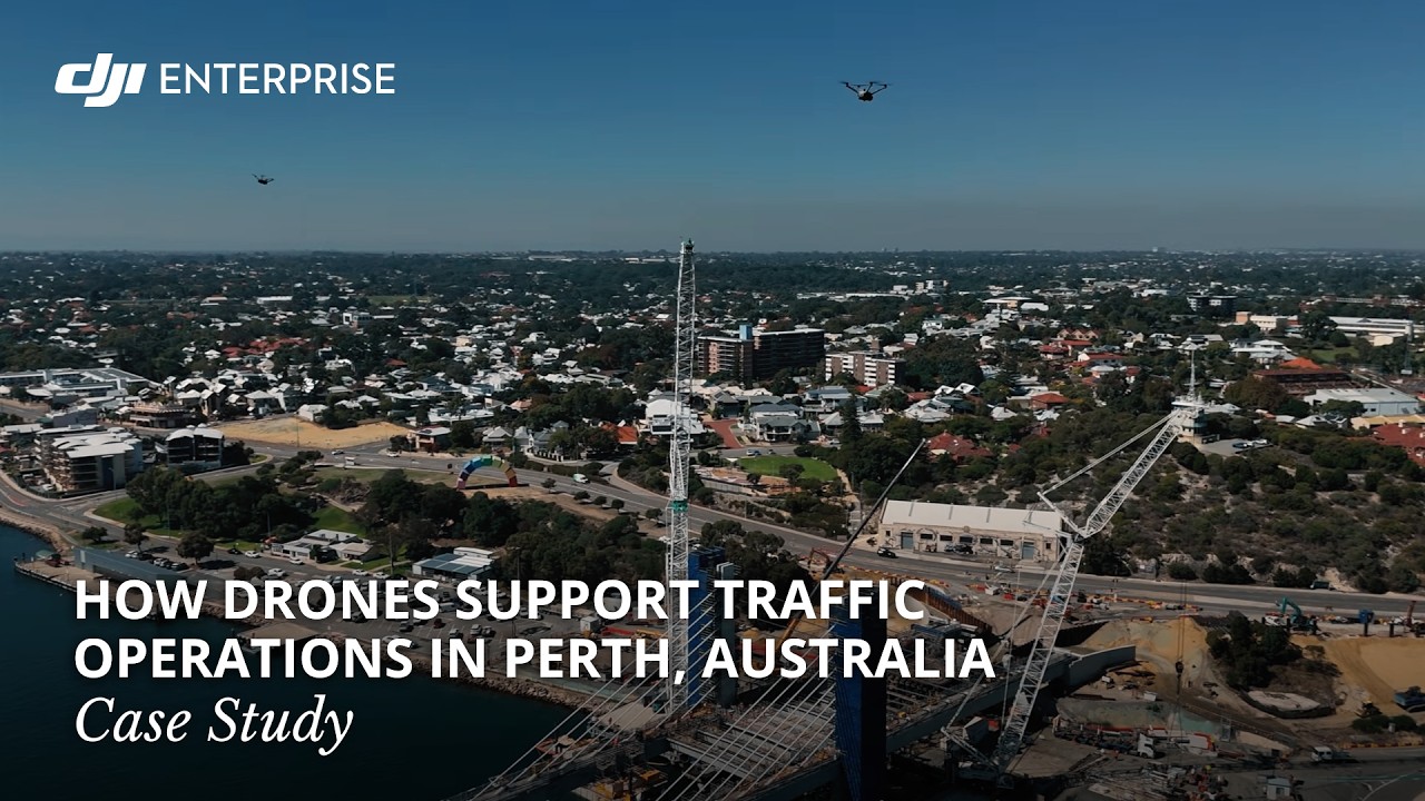
During the Fremantle Traffic Bridge closure, Main Roads Western Australia worked with SENSOREM to support live traffic operations using DJI Dock 3.

Real-time aerial video was streamed directly to the Perth CBD operations center. The documented output is a live traffic view, not a measured reduction in congestion or cost.

Fire Response

Locate the heat. Coordinate the response.

01 Challenge
Difficult terrain and limited ground visibility can slow fire assessment.
02 Drone in action
Thermal and visual aerial imagery help teams locate hotspots and monitor fire activity.
03 Operational gain
Crews gain location information to plan access and coordinate resources.
DJI Enterprise official video cover: Yeongdeok County, South Korea

Yeongdeok County, South Korea

Wildfire monitoring

Check fire reports with a remote aerial view.

Yeongdeok County uses a ten-site DJI Dock 3 network for fire protection, with monitoring and rapid verification as operational priorities.

The network supports remotely piloted aerial monitoring. The official case documents the deployment without reporting a measured reduction in verification time or fire losses.

DJI Enterprise official video cover: Near Graz, Austria

Near Graz, Austria

Wildfire response

Support a response that lasts beyond one shift.

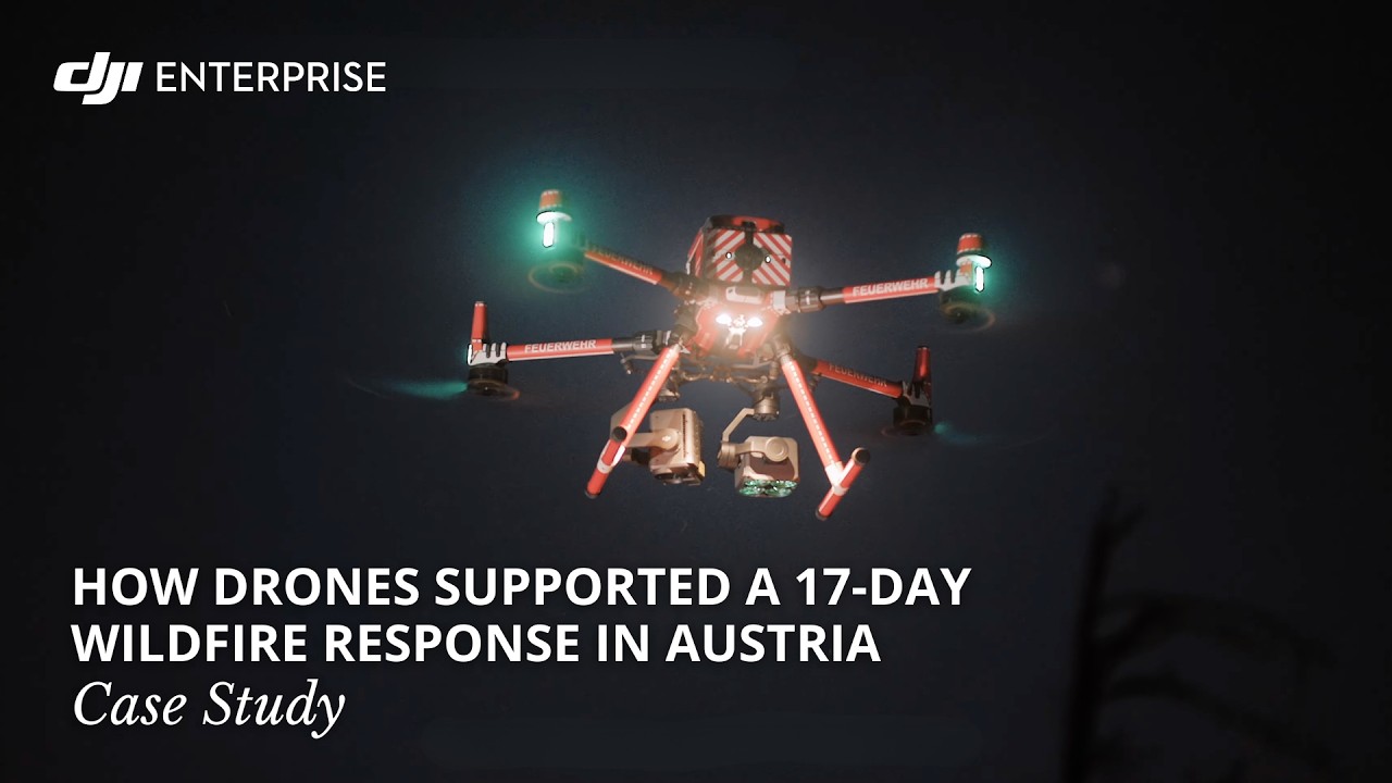
A wildfire north of Graz, Austria, burned more than 70 hectares and required a 17-day firefighting response.

Drones supplied real-time aerial data to ground crews and logged over 300 flight hours, according to DJI's official account, providing information throughout the extended operation.

Aerial monitoringWatch case study
DJI Enterprise official video cover: Chubut, Argentina

Chubut, Argentina

Wildfire response

Give firefighters a clearer view of the terrain.

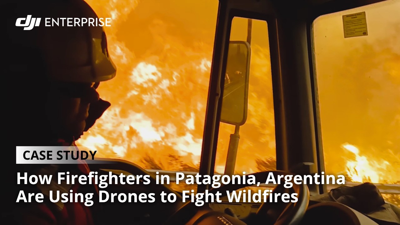
Las Golondrinas fire crews in Chubut use DJI Matrice 4T where wildfires can spread across native forest before teams reach the scene.

Aerial imagery supports hotspot assessment, secondary-fire checks and access-route planning. DJI describes faster decisions as a qualitative benefit of the workflow.

DJI Matrice 4TWatch case study

Emergency Search & Rescue

Cover more search ground. Build a clearer picture.

01 Challenge
Large search areas and difficult access make rapid assessment challenging.
02 Drone in action
Aerial imagery, thermal cameras and zoom support search, assessment and disaster drills.
03 Operational gain
Teams gain additional information to prioritize areas and guide ground operations.

From search and mountain rescue to disaster preparedness. The Philippines case demonstrates related emergency-response use.

DJI Enterprise official video cover: Japan

Japan

Disaster preparedness

Build aerial assessment into disaster drills.

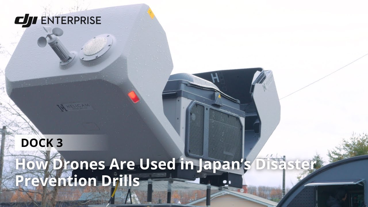
Japan's disaster-prevention drills use DJI Dock 3 across urban, coastal, river and mountain environments.

Drones monitor evacuations, check tsunami risks, track river levels and assess landslide-prone terrain. The exercises provide aerial information for early assessment and evacuation guidance.

DJI Enterprise official video cover: Val Thorens, France

Val Thorens, France

Mountain rescue

An aerial view for ski patrol and rescue.

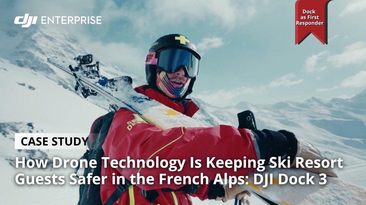
Val Thorens ski patrol teams use DJI Dock 3 and Matrice 4TD for avalanche response in the French Alps.

The workflow provides real-time aerial information across dangerous mountain terrain, with deployment described for day or night. The case does not report measured rescue-success or survival improvements.

DJI Dock 3 + Matrice 4TDWatch case study
DJI Enterprise official video cover: Czech Republic

Czech Republic

Search and rescue

Scan wider search areas with thermal and zoom.

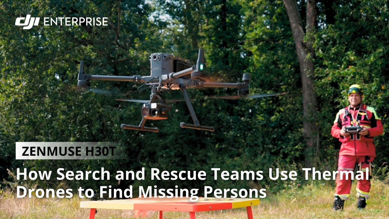
On a mission with DJI Telink, the Czech Search and Rescue team used Zenmuse H30T to scan a large area of challenging terrain.

Thermal imaging and long-range optical zoom helped assess potential heat signatures. DJI describes clearer situational awareness; the account does not report a completed rescue.

DJI Zenmuse H30TWatch case study

Site Security

Extend coverage. Support the team on the ground.

01 Challenge
Large sites can stretch the reach of existing ground patrols.
02 Drone in action
Scheduled and on-demand aerial missions add a wider view of the site.
03 Operational gain
Security teams can check conditions remotely and retain a record of patrol activity.
DJI Enterprise official video cover: Mondialpol, Italy

Mondialpol, Italy

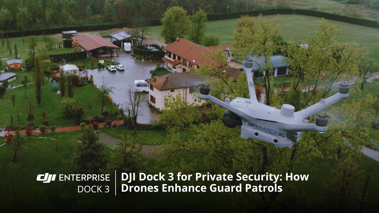
Private security

Give guard teams another way to verify alarms.

Italian security company Mondialpol combines proactive aerial patrols with alarm response using DJI Dock 3 and FlightHub 2.

Automated missions run during the day and at night. DJI reports wider coverage, fewer unnecessary dispatches and quicker threat detection as qualitative benefits, without numerical performance data.

DJI Dock 3 + FlightHub 2Watch case study
DJI Enterprise official video cover: Maza Tarraf, Brazil

Maza Tarraf, Brazil

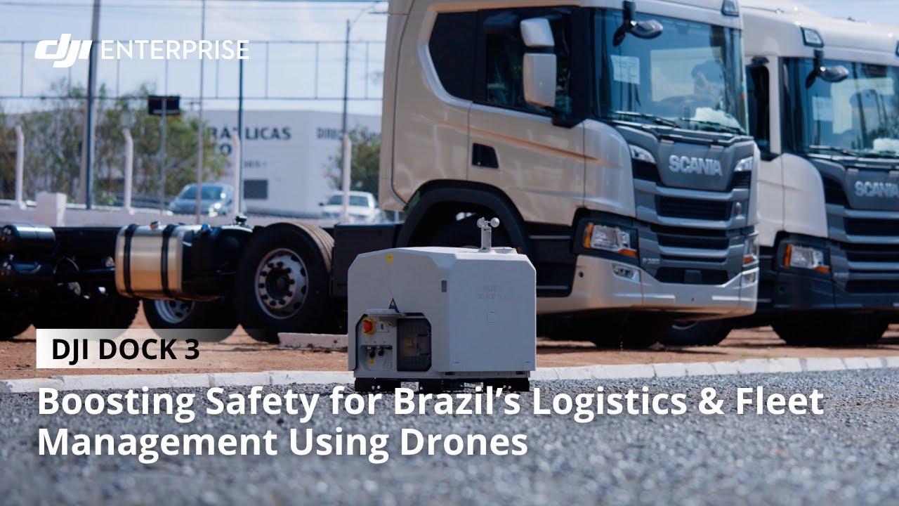
Logistics security

Make aerial patrol part of daily site operations.

Brazilian logistics company Maza Tarraf uses DJI Dock 3 for automated aerial patrols across its facilities.

DJI describes improved safety and operational efficiency. The account documents facility monitoring, but does not provide quantified savings, incident reductions or verified uptime figures.

Technology behind the applications

From a remote launch
to a shared operational view.

Different missions call for different tools. These cases include both dock-based systems and pilot-operated DJI drones.

Dock-based operations

DJI Dock 3

Support scheduled and on-demand missions with a remotely managed drone system, adding aerial checks to routine patrol and incident assessment.

Mission coordination

DJI FlightHub 2

Bring mission planning, live aerial information and flight records into a shared platform for remote operations and team coordination.

Aerial observation

Visual, thermal and zoom imaging

Choose imagery suited to the mission: assess a road incident, examine a potential hotspot or help a search team check a wider area.

Capabilities depend on the aircraft, payload, configuration, conditions and local operating approvals. Thermal cameras detect surface heat signatures; they do not see through solid objects. The examples shown are specific applications, not guarantees of universal coverage or response times.
Do more with the teams you have, with DJI drones.

Back to top