
Deep in the rainforest of northern Guatemala lies one of the most archaeologically significant regions in the Americas: the Mirador Basin. For 47 years, the Foundation for Anthropological Research and Environmental Studies (FARES), led by founder and president Dr. Richard Hansen, has worked to uncover the secrets of this ancient Maya heartland — home to the earliest and largest cities of one of the world's great civilizations.
To date, the team has documented 964 archaeological sites, forming 417 ancient cities, towns, and villages. At the center of it all is El Mirador — the largest site in the basin, and one of the largest ancient cities anywhere in the Western Hemisphere.

"El Mirador helps us understand the origins, development, and collapse of complex societies, and all the factors that led to that." — Dr. Richard Hansen, Founder & President, FARES

But understanding a civilization buried beneath dense triple-canopy jungle, two to three days' hike from the nearest road, demands more than traditional archaeology. It demands cutting-edge aerial technology — and DJI Enterprise has become a critical partner in pushing the boundaries of what's possible.
See the Mission in Action
Watch the FARES team deploy the Matrice 400 and Zenmuse L3 deep in the Guatemalan jungle — and see how DJI technology is helping uncover the lost cities of the Maya. Watch the full story here.
From Planes to Drones: A New Era of Aerial Archaeology
FARES has long led survey innovation in Guatemala, pioneering total station and LiDAR methods. The team's landmark 2015 and 2018 LiDAR campaigns — flown from manned aircraft at high speeds and altitudes — first opened researchers' eyes to the social, economic, and architectural complexity of the basin.
Since then, the technology has evolved exponentially. Where airplanes once flew fast and high with limited resolution, DJI drones now fly slower and lower, capturing far richer detail. From the Matrice 300 and 350 to the latest Matrice 400, and from the Zenmuse L1 to the L2 and now the L3, each generation has expanded what the team can see beneath the canopy.
"These drones have better technology. They're flying slower and lower, with the ability to get much more information. You can see the jaguars down there in the jungle."
—Dr, Richard Hansen, Founder & President, FARES

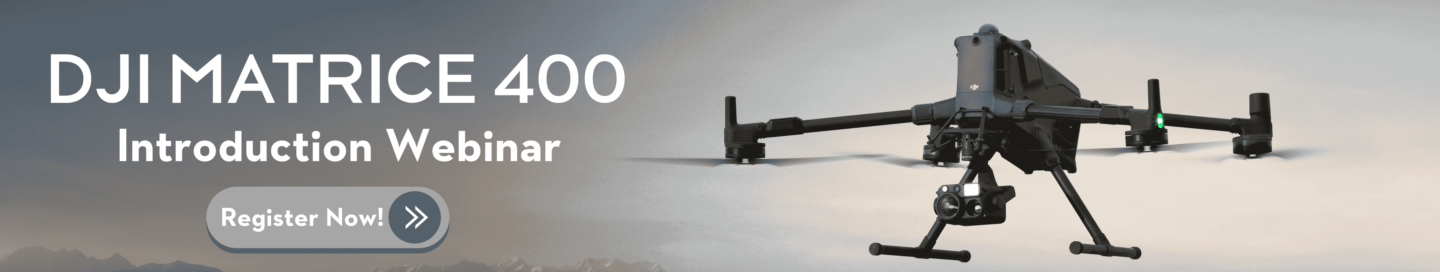
The Matrice 400 and Zenmuse L3 Advantage
For a project this remote and this demanding, every kilometer of flight range and every additional LiDAR return matters. The latest DJI hardware delivers on both fronts.
Compared to the Matrice 350, the Matrice 400 nearly doubles operational reach — from a 6–7 km maximum scan range to approximately 12 km — dramatically expanding the area the team can cover from a single takeoff point. Paired with the Zenmuse L3, which captures 16 returns per pulse versus 5 on the L2, the system allows operators to fly higher, faster, and with less overlap, while still capturing the precise ground points needed to penetrate the jungle canopy.
In one of the harshest operating environments on Earth, platform robustness is just as critical as sensor performance. Where lesser drones struggle, the DJI ecosystem holds up.

From Point Cloud to Discovery
Capturing the data is only the beginning. Dr. Edwin Escobar, who manages the workflow end-to-end — from mission planning to final deliverables — relies on DJI's integrated software to process raw point clouds into the topographic outputs archaeologists need.
After each flight, the team filters out non-ground points to isolate the bare earth beneath the canopy. The result is a Digital Elevation Model (DEM), which is then passed through a hillshade filter that exaggerates lighting and contrast. Pyramids, staircases, causeways, and standalone structures — invisible to the eye and to satellites — suddenly emerge from the data with striking clarity.
The 16 returns of the L3 produce smoother DEMs and, in turn, cleaner hillshade visualizations. For archaeologists, that translates directly into the ability to identify new causeway continuity, structural complexes, and entire settlement patterns that would otherwise remain hidden.
"The end-to-end workflow that DJI offers smooths the process not only from the flying standpoint, but all the way to the processing. We can deliver accurate data faster — and really understand what's happening inside the basin." — Dr. Edwin Escobar

Mapping a Civilization for the Future
The implications go far beyond a single field season. With the precision and accuracy DJI's platform delivers, the team believes the maps generated today will be definitive — a permanent record of the Mirador Basin that future generations of researchers can build upon.
"In reality, we'll never have to map this area again. The precision and accuracy of this material will make these maps eternal." — Dr. Richard Hansen, Founder & President, FARES
Looking Ahead: The Next Chapter of Discovery
As FARES enters its next chapter, DJI Enterprise remains a core partner in the mission to document, protect, and share the story of the ancient Maya world. From the durability of the Matrice 400 in punishing jungle conditions, to the resolution of the Zenmuse L3 LiDAR, to the integrated software pipeline that turns raw scans into discovery-ready maps, the technology is no longer just a tool — it is reshaping what is possible in archaeological science.
At DJI, we're proud to support Dr. Richard Hansen, Dr. Edwin Escobar, Drones Plus Robotics and the entire FARES team in their decades-long mission to bring one of humanity's most extraordinary lost civilizations back into the light.

-2.png?width=300&name=Insight%20blog%20featured%20image%201140X660%20(3)-2.png)
.png?width=300&name=HS%20-%20Featured%20Images%20(7).png)
-1.png?width=300&name=HS%20-%20Featured%20Images%20(5)-1.png)