
HS2 is the largest infrastructure project in Europe. The £106Bn development will create high-speed rail links between London, The Midlands, and the North of England.
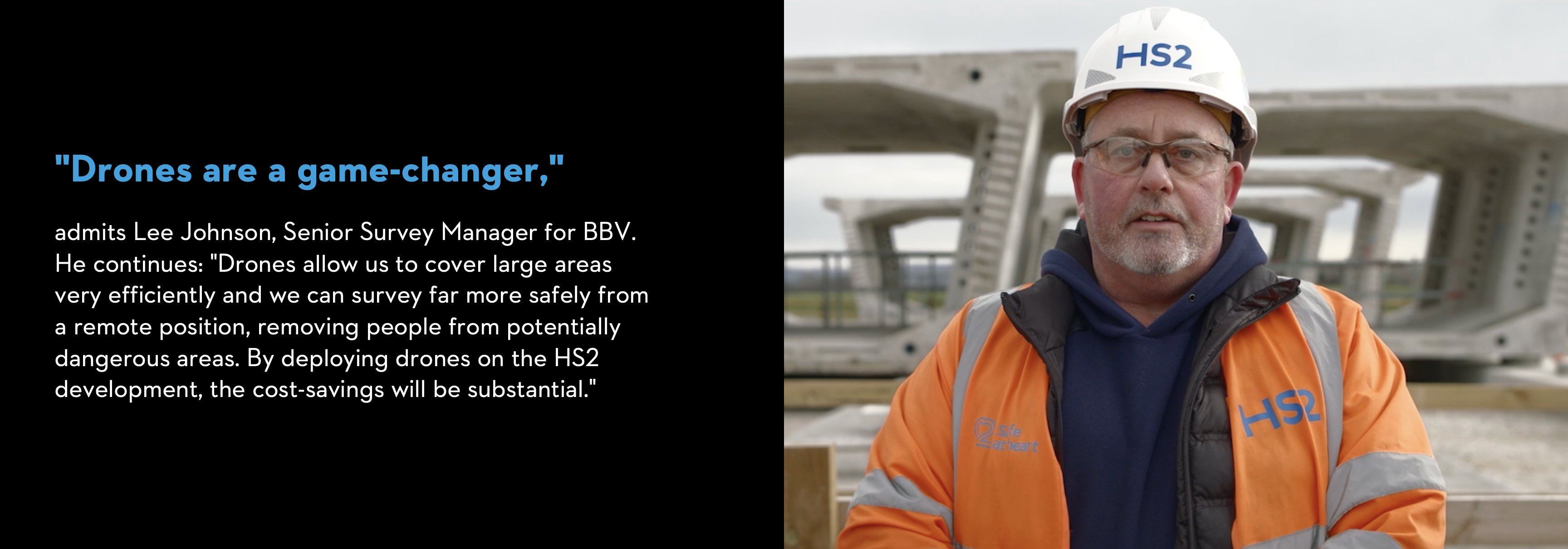
Joint venture Balfour Beatty VINCI (BBV) is designing and building the largest section of HS2's first phase, 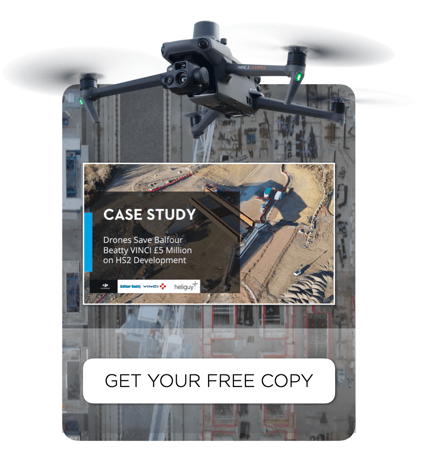 covering about 90km. However, surveying the construction site can be a time-consuming and expensive process that requires a lot of manpower and equipment. With the Mavic 3 Enterprise drone, surveying can be done quickly and accurately from the air. Additionally, data is collected more safely and cost-effectively and can be shared with the team and accessed remotely.
In this case study you can learn how BBV has achieved the following:
- Digitize the project using drones to conduct faster, safer, and more cost-effective surveys
- Upgrade from the Phantom 4 RTK to the Mavic 3 Enterprise for great efficiencies
- Achieve an estimated £5 million in cost-savings over five years with drones
- Attain 20-25mm survey-grade accuracy without installing ground control points
- Remove 800 'working at risk days'
- Centralize their data for remote monitoring and improved collaboration and decision making
-2.png?width=300&name=Insight%20blog%20featured%20image%201140X660%20(3)-2.png)
.png?width=300&name=HS%20-%20Featured%20Images%20(7).png)
-1.png?width=300&name=HS%20-%20Featured%20Images%20(5)-1.png)