Raptor Maps
Raptor Maps is building the operating system for the solar industry, enabling the industry to scale and meet global climate goals. With intelligence for the entire solar industry, our solar lifecycle management platform (Raptor Solar) provides the tools and the system of record that asset owners, managers, O&M, developers, and EPCs need to build, maintain, and expand their solar plants. At the core of the platform are continuously evolving, geo-referenced digital twins of your solar assets, which integrate with the data sources you need to derive actionable insights. Raptor Solar bridges the gap between insight and action, improves asset health and power production, reduces risk, and ultimately increases the rate of return of solar assets. To learn more about Raptor Maps or to schedule a demo, contact us at raptormaps.com/contact
Matrice 30 Series Resources
Your home for everything Matrice 30 Series, from official trainings to blogs, user stories, and more
Electricity |
Inspection
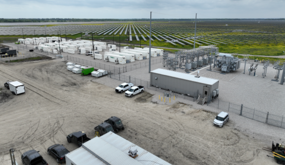
First-Ever DJI Dock (“Drone-in-a-Box”) Solar Farm Inspection Conducted in North America
May 3, 2023 - Dallas, TX - A long-term DJI end-user and multinational provider of electricity and gas, has collaborated with DJI, Raptor Maps, and UVT..
 by
Raptor Maps
by
Raptor Maps
May 6, 2023
Electricity |
Inspection
Raptor Maps and DJI Team Up to Optimize Mavic 3T Flight Planning for Solar Use Cases
Raptor Maps, a leading provider of solar software, is collaborating with DJI Enterprise to provide input and testing for the latest update to DJI’s Pi..
by
Raptor Maps
April 5, 2023