Mount Everest, the world's highest peak, has seen 6,664 successful summits as of 2023. With the increasing number of climbers each year, Everest has also become known as the "world's highest garbage dump." According to the Nepal Times, approximately 140 tons of waste have accumulated on Everest over seventy years. This waste includes oxygen bottles, food packaging, human waste, and even the bodies of climbers who perished on the mountain.
Climbers aspiring to summit Everest require supplies like oxygen bottles and tents, often hiring local Sherpas for transport. The route from Everest Base Camp (EBC) to the summit involves traversing extreme environments, such as the Khumbu Icefall, which is recognized as one of the most dangerous stages in the southern route of Everest climbing.
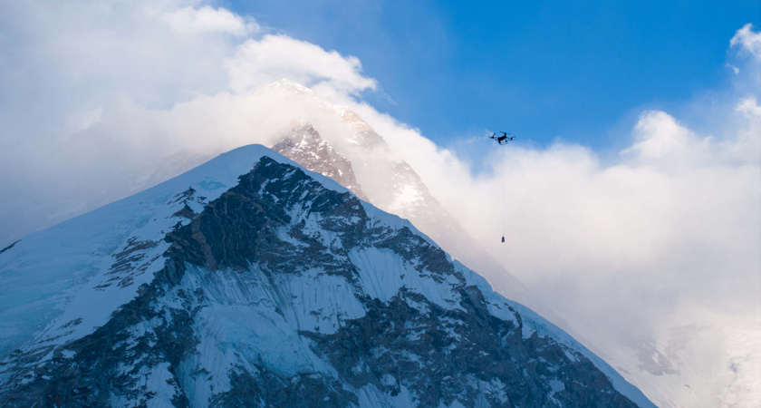
To address the issues of supply transport and waste management on Everest, the Nepalese government has been seeking solutions.
In April 2024, DJI Delivery, in collaboration with 8KRAW and local partners in Nepal, conducted a drone transportation tests on the southern slope of Everest using the DJI FlyCart 30 (FC30). This marked the first-ever round-trip transport test by a cargo drone at altitudes between 5,300 meters and 6,000 meters, setting a new record for civilian drone transport.
15 kg payload at 6,000 meters altitude
From April 25 to May 1, FC30 completed hover tests, unloaded transport tests, and loaded round-trip transport tests in the southern base camp region (at an altitude of 5,300 meters) and higher altitudes. The tests showed that the FC30 could stably transport 15 kg of supplies from the 5,300-meter Everest Base Camp to the 6,000-meter C1 base camp, reducing the risky and time-consuming (6-8 hours) trek across the Khumbu Icefall to just 10 minutes.
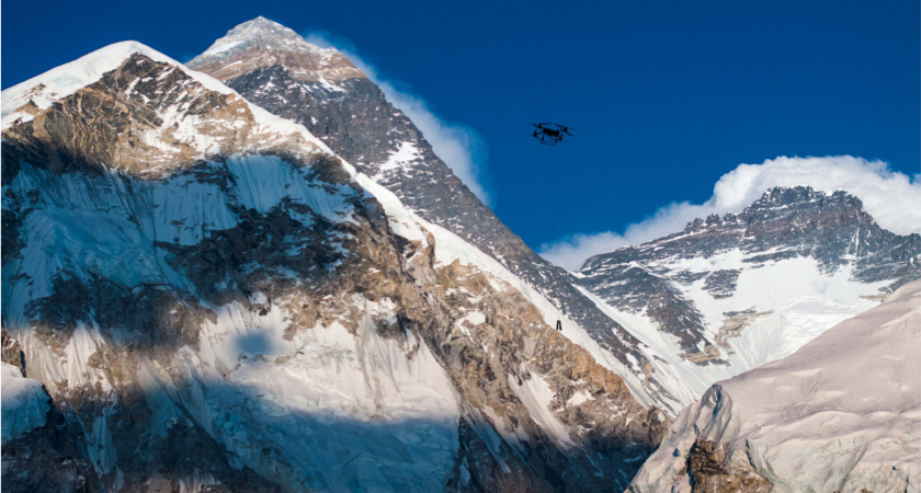
Before reaching Everest, the DJI team discovered that parts of the route from Base Camp to C1 blocked visibility of the drone. This required repositioning to find a takeoff point that avoided signal obstructions by the mountain. After multiple adjustments, they finally found a takeoff point with minimal signal interference.
Signal obstructions can cause the remote controller to lose connection with the drone. However, by designing a flight path that continues even after losing signal and using an extended rope with a self-detaching mechanism, it is possible to transport goods to the C1 camp. This method results in parts of the flight path being in a lost-signal state and doesn't allow for the retrieval of waste, making it a backup plan. These issues could be quickly resolved using FC30's Dual Operator Mode which enables multiple remote controllers from multiple positions to control the drone. However, this required an experienced pilot to hike up to Camp 1, which requires a climbing permit, so this solution wasn't used during these initial delivery tests.
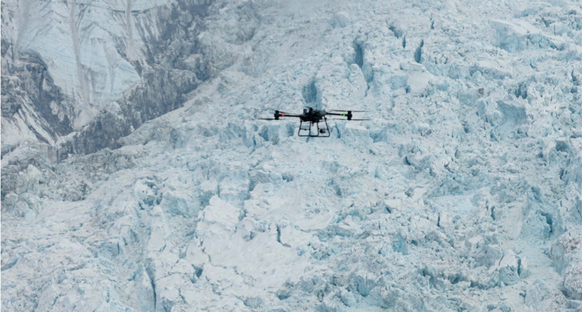
After multiple rounds of adjustments, the DJI Delivery team eventually found that the terrain from C1 camp to the top of the Khumbu Icefall is relatively flat, allowing personnel to make quick round trips. Additionally, this area is above the Khumbu Icefall and along the climbing route, which removes the need to repair paths through crevasses. Using Mavic 3T flights, they finally identified a stable target point for single-control flights at C1, effectively addressing the signal issue.
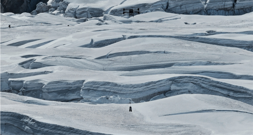
The tests began with round-trip flights using the FC30, carrying loads of 0, 4.5, 9, 13.5, and 15 kilograms.
The final flight tests confirmed that, in conditions of -5° C and wind speeds of 15 m/s, the FC30 could stably take off from an altitude of 5,300 meters without any modifications. During the tests, the drone achieved a maximum flight altitude of 6,191.8 meters with room for further ascent, and it was able to hover for 17 minutes. For the transport task, which involved carrying a 15 kg payload over a route length of 2.7 km with a 700 m elevation gain, the FC30 still had 43% battery power remaining after a round trip.
A safer, cleaner Mount Everest
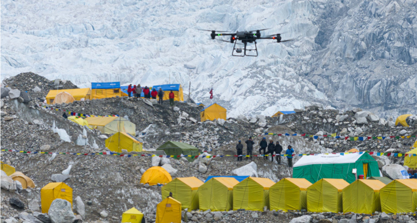
The FC30 Everest transport test set a global record for 6,000-meter transport and is expected to provide new solutions for various commercial climbing projects worldwide. According to recent reports, the application of the FC30 in the Everest region has received high recognition from local authorities and commercial climbing organizations in Nepal.
A local operating company, commissioned by the Nepalese local government, officially launched a regular drone transport project on May 22 at the Everest South Base Camp. The main goals include cleaning up residual waste on the southern slope of Everest, starting a season earlier than anticipated.
The acceleration of regular high-altitude drone transport may usher in a new era for high-altitude climbing and rescue operations, contributing to environmental protection and the sustainable development of the climbing industry.


.png?width=300&name=L3kv%20(1).png)