
As governments around the world seek effective measures to mitigate the COVID-19 pandemic, it is the first responders at the frontlines who are at high risk as they work to keep their communities safe.
Drones have quickly emerged as a vital technology for public safety agencies during this crisis as they can safely monitor public spaces, broadcast messages over loudspeakers, spot unsafe activities, create 2D and 3D maps of future testing sites or problematic locations, and provide live video from critical areas – all from a safe distance.
In support of these local heroes, DJI is activating its Disaster Relief Program to equip public safety agencies across the United States with the right equipment and support that enables our first responders to scale their UAV operations at this unprecedented time.
Program Details
This program mobilizes the resources of DJI and its enterprise channel partner network to support qualified police, fire and rescue services across the United States through:
- Direct product donation or an extended product loan program (based on agency requirements)
- Priority service and expedited free repairs
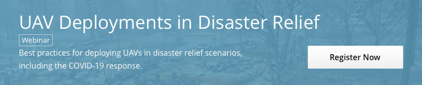
- Free webinars on relevant product training, legal and regulatory requirements and reported best practices
- Dedicated technical support
To get our support out into public safety as quickly and effectively as possible, to begin with we will be supporting with Mavic 2 Enterprise Zoom platforms. These include the speaker, spotlight and beacon accessories and up to five additional batteries. This particular quick deploy platform has become a first choice by many departments across the globe as it is a tool with multiple use-cases during this pandemic.
Please note that only official entities who are already authorized to operate drones are eligible, and agencies responding to the largest outbreaks will be prioritized. Drone equipment and support will also be provided based on the respective agency’s requirements and capabilities.
Our ask back is that departments participating in this program are Paying It Forward by creating best practices, helping in outlining their successful use-cases, and assisting in sharing their experiences with their peers. This allows for all of us to learn together and ensures increased efficiency across regions. No need to re-invent the wheel right now.
We have distributed all of our existing inventory to agencies in need, and are focused on securing additional equipment in the coming days. Due to that, we have closed the application for new submissions, but please visit this post regularly for further updates.
If you would like to learn more about how the equipment has been allocated and a general update, please visit this article.
FAQs
Q: How are agencies selected?
This program is applicable to public safety agencies who have been authorized to conduct drone operations and have the personnel to utilize the benefits of the program. Agencies responding to the largest, most critical outbreaks will be prioritized.
Q: Why are you focusing on agencies that are already using drones?
In times of crisis and emergency response, agencies are unable to spare the time to learn and develop new operations and procedures around new technologies and tools. For that reason, our team believes the majority of our resources would be most beneficial to agencies that already have the personnel and knowledge, but currently lack the equipment to scale their operation.
Q: Can agencies from outside the United States apply to this program?
This program is only applicable to public safety agencies in the United States. If you are a public safety agency from another country, please send us an email at enterprise@dji.com so we can determine the best way we can support you.


-3.png?width=300&name=Insight%20blog%20featured%20image%201140X660%20(2)-3.png)