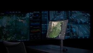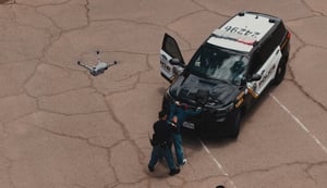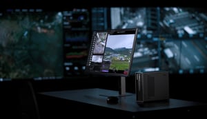

From weathered mountain ranges to centuries-old city walls, the sites that define our natural and cultural history are constantly exposed to erosion, storms, and simple wear. DJI Enterprise's World Heritage 3D Conservation Initiative asks drone operators to help build a lasting digital record of these places, one flythrough video at a time.
Running from July 29 to November 3, 2026, the initiative invites participants to capture a natural or cultural heritage site with a drone, reconstruct it in 3D, and use DJI Reality to generate a flythrough video. Submissions are judged across two categories, with additional recognition for the videos that gain the most traction on social media.
Two categories, one shared goal
Entries can fall under either of two categories:
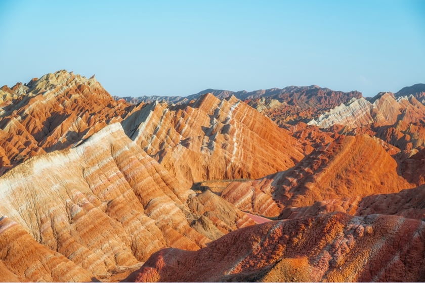
Natural Heritage: Mountains, lakes, forests, or any landscape valued for its ecology, geology, or scenic character, from famous national parks to the terrain in your own backyard.
Cultural Heritage: Monuments, archaeological sites, and architectural complexes, but also old villages, urban landmarks, industrial sites, and carved or painted structures with historical or artistic value.
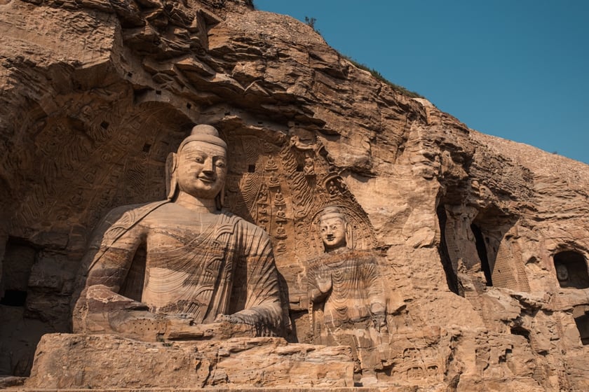
Flythrough video examples
DJI Reality generates flythrough videos from mesh models, 3D Gaussian Splatting (3DGS), or point cloud data. Three sample reconstructions show the range of formats supported. Beyond a basic flythrough, participants are encouraged to add real-world footage, behind-the-scenes clips of the survey, and background music.
How to participate
Share your flythrough video on social media. Include the hashtags #DJIMapYourHeritage and #DJIEnterprise in your caption, then follow and tag DJI Enterprise.
Eligible platforms: Instagram (@DJIEnterprise_Official), Facebook (@DJIEnterpriseOfficial), LinkedIn (@DJI), YouTube (@DJIEnterprise), and X (@DJIEnterprise).
Submission guidelines:
- Creative recommendations: Beyond the 3D model itself, consider adding before/after comparisons, workflow footage, shots of the drone at the survey site, and background music.
- Format requirements: MP4 file generated using DJI Reality, based on a 3D model of the heritage subject. Recommended resolution: 4K at 60fps. Duration: 30–300 seconds.
- Originality and authenticity: Submitting false information or using AI tools to fabricate or alter 3D models or video content disqualifies the entry.
- Legal compliance: Participants are responsible for ensuring their drone flights comply with local laws and regulations at the filming location, and that their submission doesn't infringe on any third party's rights.
- Content licensing: By entering, participants agree that DJI may display, distribute, and use the submitted work worldwide on a perpetual, royalty-free basis.
Prizes
|
Award |
Recipients |
Prize |
|---|---|---|
|
Excellence in Natural Heritage |
2 |
Osmo Pocket 4 Standard Combo |
|
Excellence in Cultural Heritage |
2 |
Osmo Pocket 4 Standard Combo |
|
People's Choice |
4 |
Osmo 360 Standard Combo |
Timeline
- July 29: Call for participation opens
- October 10: Submission deadline
- October 15: People's Choice Award announced
- November 3: Excellence Showcase
Recommended workflow
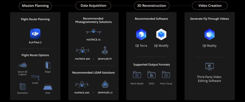
The full path from drone capture to finished video runs through four stages:
- Mission planning: Route planning based on the terrain and structure being surveyed.
- Data acquisition: Aerial capture using DJI drone platforms.
- 3D reconstruction: Building the model, mesh, 3DGS, or point cloud in DJI Reality or DJI Terra.
- Video creation: Generating and editing the flythrough in DJI Reality.
Get inspired: Heritage sites already mapped by DJI
A few examples of what drone-based 3D reconstruction has already done for heritage preservation:
Mount Qomolangma's Khumbu Icefall: DJI Matrice 4E surveys the shifting glacier from the air, and DJI Terra processes the data into centimeter-level 3D models that help Icefall Doctors chart safer routes and let scientists track glacial retreat.
El Mirador Basin, Guatemala: Zenmuse L3 LiDAR, mounted on Matrice 400, penetrates the rainforest canopy to capture point clouds and generate Digital Elevation Models of Maya ruins hidden beneath the tree cover.
Enter the World Heritage 3D Conservation Initiative
Submissions are open now through October 10, 2026. Visit the contest page to review the full rules and start planning your capture.
Follow DJI Enterprise for event updates, featured entries, and the winner announcement.
Get Started with DJI Reality
DJI Reality is the software behind every flythrough video in this initiative. It turns mesh, 3D Gaussian Splatting, or point cloud reconstructions into shareable flythrough videos, and it works alongside DJI Terra to move from raw capture to a finished model without switching tools.
The software is free to download and use, so there's no licensing cost standing between a completed 3D reconstruction and a competition-ready video.
To get started:
- Capture your site with a supported DJI drone platform.
- Process the data into a 3D model in DJI Terra.
- Import the model into DJI Reality to generate and edit your flythrough.
- Export the MP4 and share it with #DJIMapYourHeritage and #DJIEnterprise.
Download DJI Reality for free and enter the competition.
Disclaimer: Always comply with local drone laws and regulations when operating. Contact an authorized DJI dealer or DJI After-Sales Support if you experience any issues with your equipment or software.