Your home for everything Matrice 30 Series, from official trainings to blogs, user stories, and more
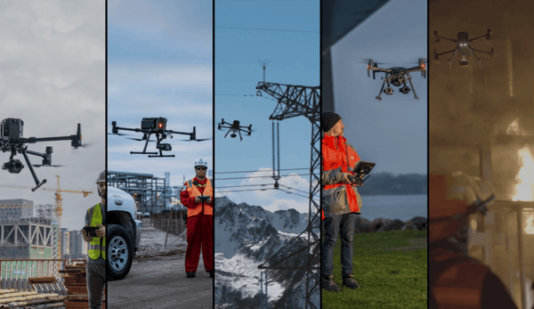
Drone Ecosystem
Commercial Drones | DJI Enterprise
Interested in drone technology but don’t think it can have a commercial application for your business? Think again. Drone operation for commercial pur..
by
DJI Enterprise May 9, 2022
AEC & Surveying |
Inspection
RTK Hardware | DJI Enterprise
How accurate is accurate enough? If you’re like most land surveyors, the answer is “as much as possible.”
by
DJI Enterprise May 9, 2022
Drone Ecosystem
Drone Careers
The day of the drone is here. Drone technology is more advanced and capable than ever before, and innovators and pioneers across a variety of industri..
by
DJI Enterprise April 8, 2022
AEC & Surveying
Ground Sample Distance | DJI Enterprise
If you use an aerial drone to survey land, you need to know about ground sample distance, or GSD for short. Calculating GSD is essential to determinin..
by
DJI Enterprise March 29, 2022
AEC & Surveying
Ground Control Points | DJI Enterprise
When it comes to drone surveying, effective ground control point placement is everything. GCPs help define the boundaries of your site and properly sc..
by
DJI Enterprise March 29, 2022
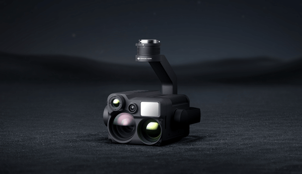
Product Innovation
Top 6 Features of the H20N
The DJI M300 has set the standard for enterprise drones with a combination of durability, performance, and advanced payloads. It was released in 2020 ..
by
DJI Enterprise March 21, 2022
Product Innovation
Top 5 Features of DJI FlightHub 2
It’s safe to say that drones have already been established as critical tools for emergency teams and inspection crews, and the insights drones deliver..
by
DJI Enterprise March 21, 2022
Product Innovation
Top 5 Features of the DJI RC Plus
Your remote controller is your link to your drone. It’s how you communicate with it and how you see what it sees. Button layout, screen quality, and e..