
Every year, before a single climber sets foot on Everest, a team of eight to ten Sherpas enters the Khumbu Icefall first. At altitudes between 5,500 and 6,000 meters, they work in thin air with constant exposure to ice collapses, avalanches, and sub-zero temperatures. Their role is to set the ladders, fix the ropes, and establish the route that every subsequent climber will follow. On Everest, they are known as the Icefall Doctors.
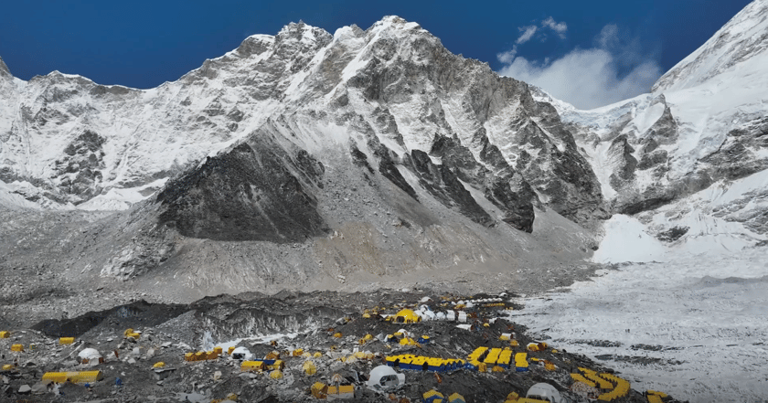
The Khumbu Icefall connects Base Camp at 5,364 meters to Camp 1 at 6,500 meters. It is the only passage upward — and one of the most unpredictable environments on earth. The ice moves approximately one meter every day, constantly reshaping itself and creating new hazards without warning. For the icefall doctors, understanding what the icefall looks like — and where it is moving — is not an abstract concern. It is the difference between a safe route and a fatal one.
When Manual Survey Reaches Its Limit
For decades, the icefall doctors surveyed the route the same way: on foot, carrying equipment, reading the ice through direct observation and accumulated experience. Surveying a full route traditionally required two to three weeks — every step taken under the constant threat of the icefall collapsing underfoot. A ground-based LiDAR survey conducted in 2019 required over two months to complete.
The challenge is not simply one of time. It is one of the information quality. The Khumbu Icefall does not stay still between surveys. To make reliable route decisions, the Icefall Doctors need accurate, current data — not observations that are already days or weeks old by the time they reach the field.
In the spring of 2026, that challenge reached a new scale. A rare, large-scale serac field formed across the icefall overnight, sealing every route to the summit. Hundreds of climbers were stranded at Base Camp. The seasonal climbing window was narrowing, and no one knew where a safe path through the ice would reappear. The icefall doctors needed a way to see the icefall clearly before anyone set foot inside it.
Mapping the Khumbu Icefall with DJI M4E and DJI Terra
To address this, Airlift Technology deployed DJI M4E and DJI Terra to conduct a systematic aerial survey and 3D reconstruction of the Khumbu Icefall. The workflow had three components: aerial data collection, 3D model generation, and day-by-day comparative analysis.
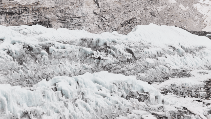
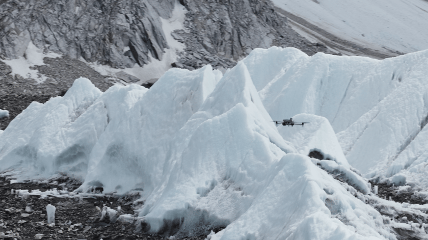
DJI M4E flew a pre-planned survey route across the icefall, capturing high-resolution oblique imagery across the full terrain. Its five-directional imaging system captured the icefall’s complex vertical structures, including overhanging seracs, crevasse walls, and unstable ice faces, in a single flight. No personnel needed to enter the survey area.
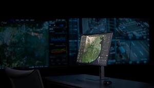
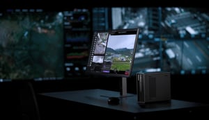
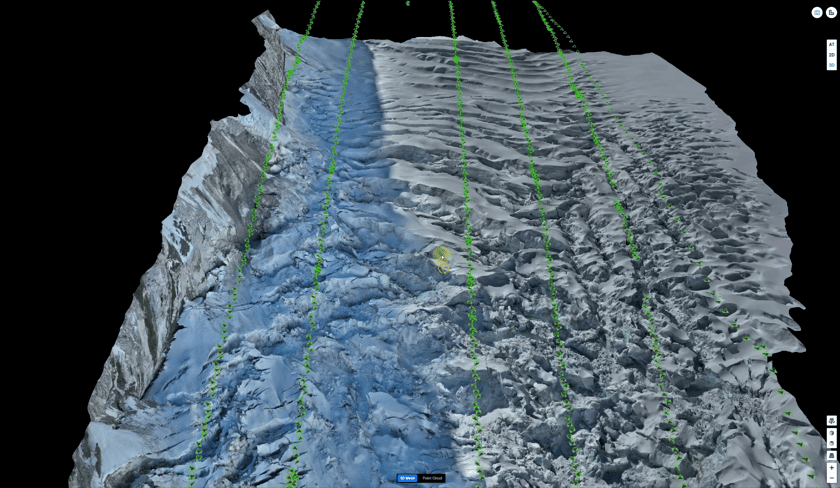
The collected data was processed in DJI Terra, which reconstructed the Khumbu Icefall as a high-precision 3D model. Crevasse locations, surface displacement, and serac positions were rendered with centimeter-level accuracy, giving the icefall doctors a complete picture of current conditions before any route decision was made.
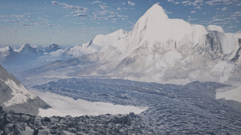
"With DJI drone technology, we can create a 3D model of the Khumbu Icefall that helps the Sherpas and icefall doctors locate crevasses and plan the route — without climbing the icefall first."
— Raj Bikram Maharjan, CEO of Airlift Technology
Seeing How the Icefall Moves Over Time
Single-survey data shows a snapshot. What the icefall doctors needed was pattern recognition — an understanding of how the ice was moving over time and where the highest-risk zones were developing. With multi-period model comparison, survey models from different periods can be compared to support more efficient risk identification.
This capability changed how route decisions were made on the ground. Rather than relying on accumulated field experience and direct observation alone, the icefall doctors could study how specific sections of ice had moved between surveys, identify where instability was increasing, and determine which corridors had remained stable enough to support ladder and rope installation.
"By calculating in advance where to fix the ladders and which way to run the routes," said Maharjan, "they can reduce risk to their lives and increase efficiency at the same time."
Before a single icefall doctor entered the icefall, the team already had a precise, data-verified understanding of what lay ahead. Routes were no longer planned in the field based on real-time assessment under risk — they were planned on screen, with the full geometry of the icefall visible, before anyone stepped in.
Results at a Glance
-
3.5 hours to generate a complete 3D model of the icefall — compared to over two months for a ground-based LiDAR survey in 2019
-
3+ km² mapped in a single mission, an area previously limited by what a team could reach on foot
-
Centimeter-level precision, giving the Icefall Doctors a verified picture of crevasse depth, position, and terrain shift
Faster Data, Safer Routes, and a Record of a Changing Icefall
The operational impact was direct. A workflow that previously required weeks of on-foot surveying under hazardous conditions was completed in a single day, delivering high-accuracy coverage across the icefall. In 2026, this helped the Icefall Doctors rebuild the blocked route and resume operations, allowing stranded climbers at Base Camp to move again.
The safety benefits extend beyond efficiency. By removing the need to physically survey high-risk zones before route planning, the workflow eliminates a category of exposure that has historically been unavoidable. Icefall doctors still enter the icefall to set the physical route — but they do so with a verified map of current conditions, rather than entering blind.
The value of this data also reaches beyond a single climbing season. As climate change accelerates glacial thinning, the ability to rapidly and repeatedly model the icefall provides scientists and environmental researchers with high-accuracy, reproducible data for tracking long-term change. The 3D models produced during this project are not only route-planning tools. They are a growing digital archive of one of the world’s most closely observed natural environments.
What Changes When the Data Comes First
For the icefall doctors, the fundamental shift is not about any single technology feature. It is about the order in which information arrives. In the past, they entered the icefall to gather data. Now, the data arrives before they do.
That change — from reactive observation to data-informed planning — is what makes the difference in an environment where conditions change daily and the margin for error is narrow. DJI M4E and DJI Terra did not replace the judgment and expertise of the icefall doctors. They gave that judgment better material to work with.
The icefall moves every day. The tools protecting those who navigate it are moving forward too.