DJI is thrilled to present Dock 2, a revolutionary advancement in remote drone operations. Building on the success of its predecessor, Dock 2 brings a plethora of unique features and capabilities that are poised to transform emergency response, construction management, surveying, and asset inspection. It's the ultimate solution for enterprises that seek uncompromising performance for their remote drone operations.
With new drones and payloads being introduced regularly, we are committed to leading the way in drone technology by enhancing our products and optimizing their functionality for our users. Before investing in a drone, enterprises should consider key features to ensure they are choosing the best product for their requirements.
Read on to discover the top features of DJI Dock 2 and understand what sets it apart from other units on the market.
1. Easy to Deploy
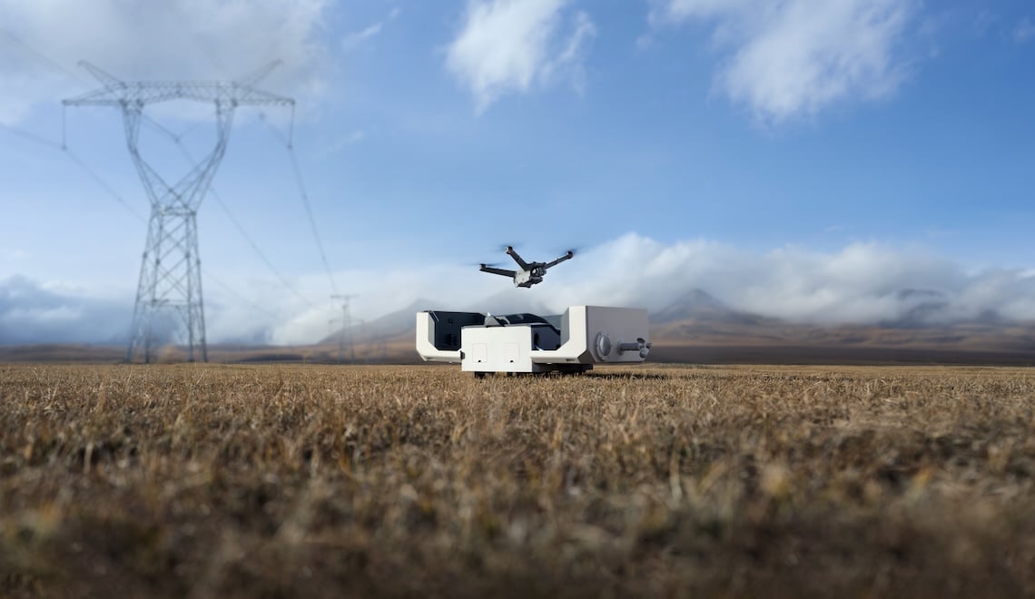
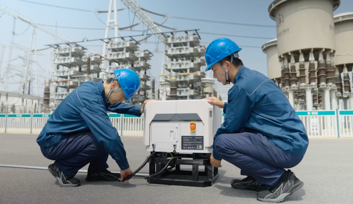
The DJI Dock 2 is remarkably easy to deploy. It is physically smaller and is approximately 70% reduction in both size and weight compared than its predecessor making it easily transportable by two individuals. With the previous system, operators would have to take the Dock onsite and use the M30 to confirm if there was a strong enough GNSS signal in the area. This was a time consuming process which could last over 5 hours. This is no longer an issue; operators can now use additional drones to evaluate a site without taking the Dock 2 with you. Thus, reducing the evaluation period from over 5 hours to a matter of minutes. Transporting a drone that weighs less than 1kg is easier and much more efficient than transporting an entire dock unit for site evaluation.
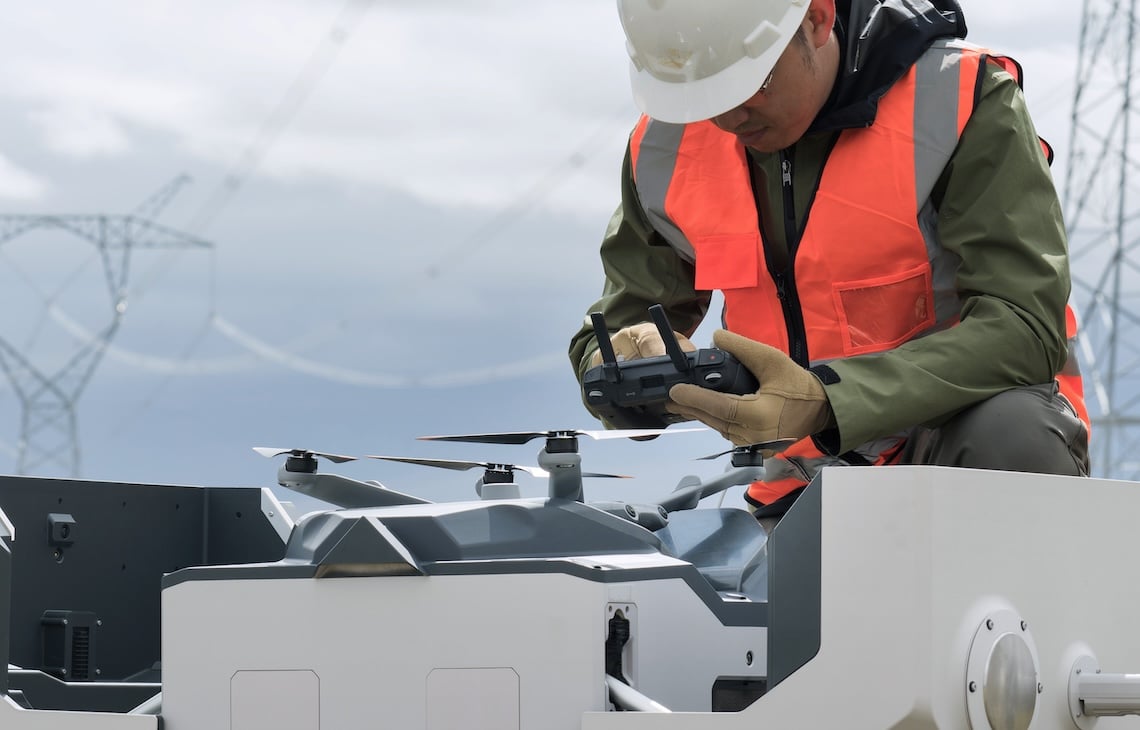
Dock 2 setup
Setting up the Dock 2 is fast and straightforward, allowing remote operators to focus on their missions without wasting precious time on complex setup procedures. With DJI Dock 2, efficiency begins immediately, ensuring that you maximize productivity during every mission.
2. Diverse Payload Options
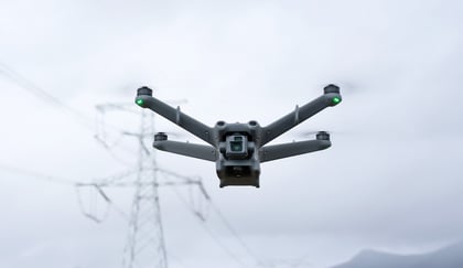
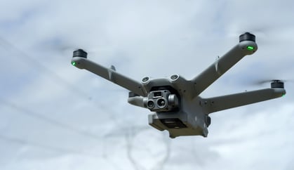
The new DJI Matrice 3D and Matrice 3TD are custom-made to work with Dock 2. The M3D is equipped with a telephoto camera and a wide-angle camera with a mechanical shutter that captures images of exceptional quality (1:500) - perfect for high-precision mapping tasks. On the other hand, the M3TD is equipped with a telephoto camera, a wide-angle camera, and an infrared camera that can capture visible light and thermal images. It is particularly useful for law enforcement agencies or inspection operations. Both drones have omnidirectional sensing and automatic obstacle bypass functions to protect them from crashing into things such as trees, buildings, and other large obstacles. Thanks to the Dock 2s powerful operation capabilities, either drone can be deployed for rugged or high-performance operations.
Matrice 3D and Matrice 3TD
| DJI Matrice 3D Payload | DJI Matrice 3TD Payload |
|
Wide-angle Camera 4/3 CMOS 24mm Format Equivalent 20MP Effective Pixels Mechanical Shutter |
Wide-angle Camera 1/1.32-inch CMOS 24mm Format Equivalent 48MP Effective Pixels |
|
Tele Camera 1/2-inch CMOS 162mm Format Equivalent 12MP Effective Pixels |
Tele Camera 1/2-inch CMOS 162mm Format Equivalent 12MP Effective Pixels |
|
Infrared Camera 40mm Format Equivalent Normal Mode: 640×512@30fps UHR Infrared Image Mode: 1280×1024@30fps (With the UHR Infrared Image function enabled, the drone automatically enables or disables UHR Infrared Image mode according to the ambient light brightness.) |
3. Cost-efficient
DJI Dock 2 stands out for its cost-efficiency. Compared with similar solutions, it offers superior performance. Because of its compact size, transportation to a work site and maintenance of the system are significantly lowered. With a smaller footprint, less civil work is required before installation, making it the ideal choice for enterprises looking to maximize their mission output without compromising quality.
4. Rugged, Reliable, Recharged
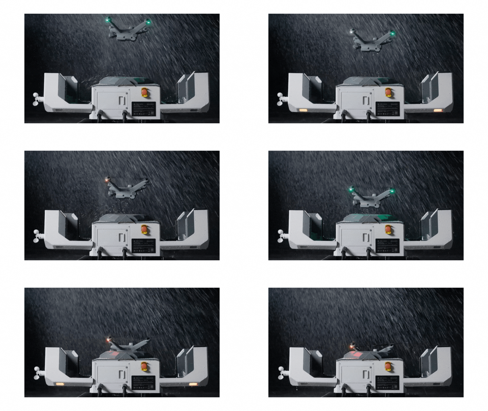
DJI Dock 2 is IP55 dust and water-resistance rated, allowing it to operate in the extreme climates and environments. Each drone can operate in the sky for a maximum of 50 minutes. It's compact size also means operators can take the Dock 2 to new locations that were previously inaccessible due to its large size. It's environmental monitoring system, an important feature of the Dock 2, uses sensors to detect rainfall, wind speed, and temperature, providing real-time weather feedback and monitoring. These sensors enable the Dock 2 to offer timely warnings and even terminate flight tasks through DJI FlightHub 2. Thus significantly reducing flight risks and preserving the safety of your drone and Dock 2.
5. Rapid Takeoff
Time is of the essence for first responders who need to get their eyes in the sky. DJI understands this better than anyone. With next-generation image recognition algorithms and Real-time Kinematics(RTK) positioning techniques, the M3D and M3TD can take off from Dock 2 in as little as 45 seconds. These drones can be deployed rapidly and provide real-time information to ground teams, enabling them to make quick and informed decisions. Once the drone lands on the Dock 2 landing pad, the wireless charging process can charge your drone's battery life from 20 to 90 percent in just over half an hour.
6. Precise Landing Capabilities
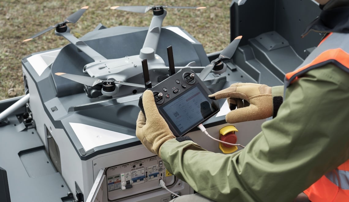
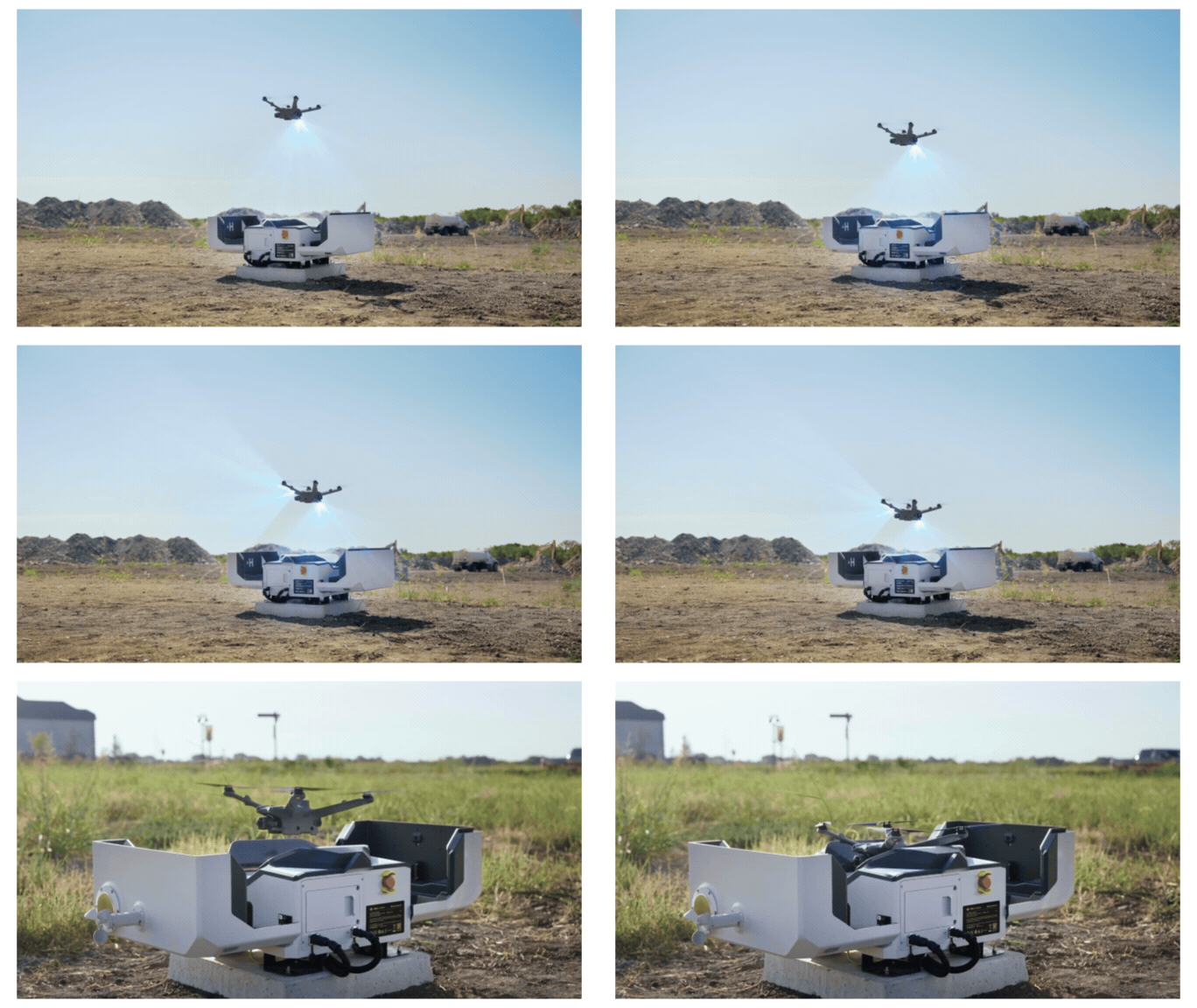
The Dock 2 has advanced image recognition technology that enables it to precisely identify positioning markers on the landing pad, ensuring a quick and safe landing. The enclosed v-shaped landing pad design ensures your drone lands accurately without missing the target. Once the doors close, the drone is pushed into the correct position for charging. These automatic, cutting-edge features significantly reduce the margin for error when landing while boosting overall operational safety.
Drone landing on Dock 2
7. Remote Live flight Control & Live Stream
FlightHub 2 allows operators to access remote live flight control, providing real-time oversight and management of their drone's operations. This advanced feature enables you to monitor and adjust flight parameters from afar, minimizing onsite travel while simultaneously enhancing overall control and flexibility during missions. A live stream of each mission can be seen via a QR code. Previously, people interested in watching the live stream of ongoing missions would have to create an account with Flighthub 2 to log in and join. With a QR code, stakeholders and team members can access real-time visual data from the drone's perspective without any registration. This seamless sharing mechanism promotes collaboration and enhances situational awareness, further enriching the operational experience.
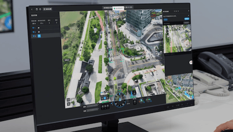
FlightHub 2
8. Third-part Payloads & Waypoint Mission FPV
Using high-precision 3D models, pilots can edit visual flight routes from a first-person perspective, preview simulated imaging results, and simplify the setting and navigating of flight paths through waypoint mission FPV capabilities. This makes missions more intuitive and efficient, which is crucial for mapping and surveying safety.
Moreover, the M3D and M3TD support third-party payloads via the e-port lite, allowing for a diverse range of missions. Each additional payload can be controlled remotely via FlightHub 2, giving you the flexibility to adapt to different tasks. The drone's E-port lite also enables connection to a parachute, a feature that enhances flight and personnel safety. We take pride in providing our customers with high-performing, safe, and versatile drones for a wide range of missions.
.gif?width=702&height=394&name=Untitled%20(1140%20x%20640%20px).gif) Adaptable for third-party payloads
Adaptable for third-party payloads
9. Cloud Mapping
Cloud mapping has become much easier. Operators no longer need to download DJI Terra for model processing; they can create a 3D model directly through FlightHub 2. In the past, operators would have to transfer data from the drones SD card onto a computer, upload it to DJI Terra, and then import it to FlightHub. FlightHub 2's ability to generate 3D models online has eliminated these steps, saving valuable time and resources.
Conclusion
DJI Dock 2 enables mapping, surveying, inspection professionals, and first responders to achieve previously impossible missions. Its unmatched ease of deployment, increased drone options, advanced integrated features, and safety enhancements set a new standard for remote drone piloting. The system's cost-efficiency and comprehensive capabilities make it the ideal solution for enterprises and professionals seeking to maximize operational efficiency and output. DJI Dock 2 represents the future of remote drone technology, empowering users to achieve unprecedented levels of performance and productivity in their respective industries.
If you want to know more about Dock 2, click here.



.png?width=300&name=L3kv%20(1).png)