“There are only nine meals between mankind and anarchy.”
~ Alfred Henry Lewis, 1906
You and the rest of the agriculture community play the most important role in sustaining our society. Farming and producing the world’s calories is no easy task- unpredictable weather, climate change, pests, and disease all plague your profession with uncertainty. It is certain, however, that the world’s population continues to rise and each year there are more and more mouths to feed. Farmers have always been creative and innovative in their adoption of new tools and techniques. Now more than ever, farmers are open to new technology to maximize their yields, while also minimizing uncertainty, in order to feed the world’s growing population.
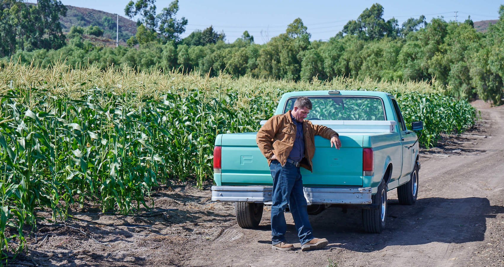
Rising to Meet Demands:
The key to meeting the 21st century’s calorie demands is precision agriculture, or the maximization of production efficiency through evidence-based, data-driven practices. Insights provided by access to more data allow farmers to eliminate guesswork, produce more, and reduce waste of resources like water, fertilizer, pesticides, and labor. A more detailed, comprehensive understanding of your farm allows you to plan accurately, execute precisely, and respond quickly.
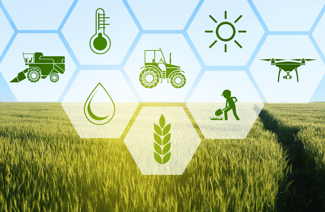
Precision Agriculture Lifted by Drones:
One tool, in particular, has elevated the potential of precision agriculture to new heights: the drone. An aerial perspective of your fields and the data drones provide can help you make more informed decisions, eliminate guesswork, and prevent problems before they happen.
In a 2016 report by PwC, drones were projected to provide a $32.4 billion economic value to farmers. When compared with most other farm machinery, drones are actually very affordable. While tractors, balers, sprayers, and other agriculture machinery are priced on the scale of hundreds of thousands of dollars, you can get started and gain valuable insights from a drone for just a few thousand. From pre-planting planning, to crop upkeep, to harvesting insight, a drone can provide year-round value that, within one growing season, can more than pay for itself.
Here are just six ways that a drone can help you farm with precision and certainty:
1. Contour Mapping:
Before you even begin planting, a drone can help you map out your land to best advise plot management. Depending on your drone’s cameras and sensors, you can measure the topography of your property with photogrammetry or Lidar to generate 3D maps. This data can help reveal high- and low-points, where soil erosion may occur, or where you might have irrigation issues. Equipped with this knowledge, you can plan accordingly and prevent problems before they occur.
2. Irrigation:
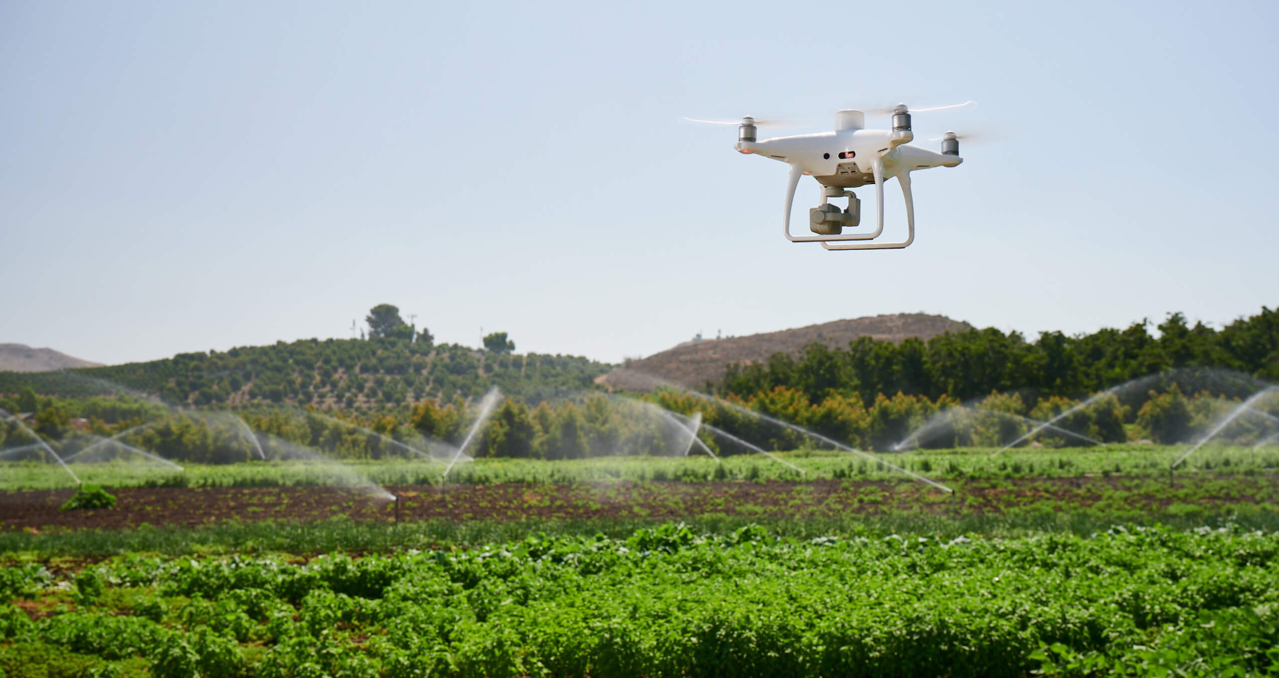
Both prior to and after planting, your drone can track irrigation. After crops are planted, spectral or thermal imaging from overhead can tell you which plants, or parts of your field, have too much or not enough water. With this insight, you can tend to your crops’ thirst early before problems become severe.
3. Livestock Management:
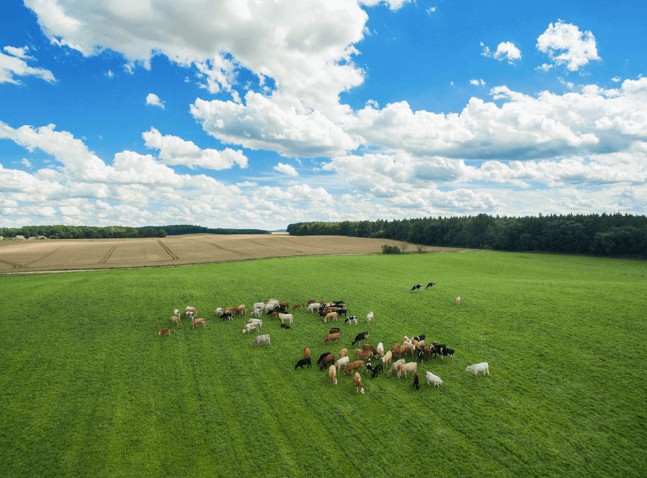
A drone flown overhead can count and take stock of your cattle and herds. Each animal has its own heat signature that can be picked up and accounted for by a thermal camera. This same thermal sensor can alert you to livestock with an abnormal body temperature, which is a strong indicator of disease or illness. Your drone could also perform routine maintenance surveys of your pasture fences to identify anomalies, like structural failures. If the fence is broken your drone will let you know.
4. Crop Assessment:
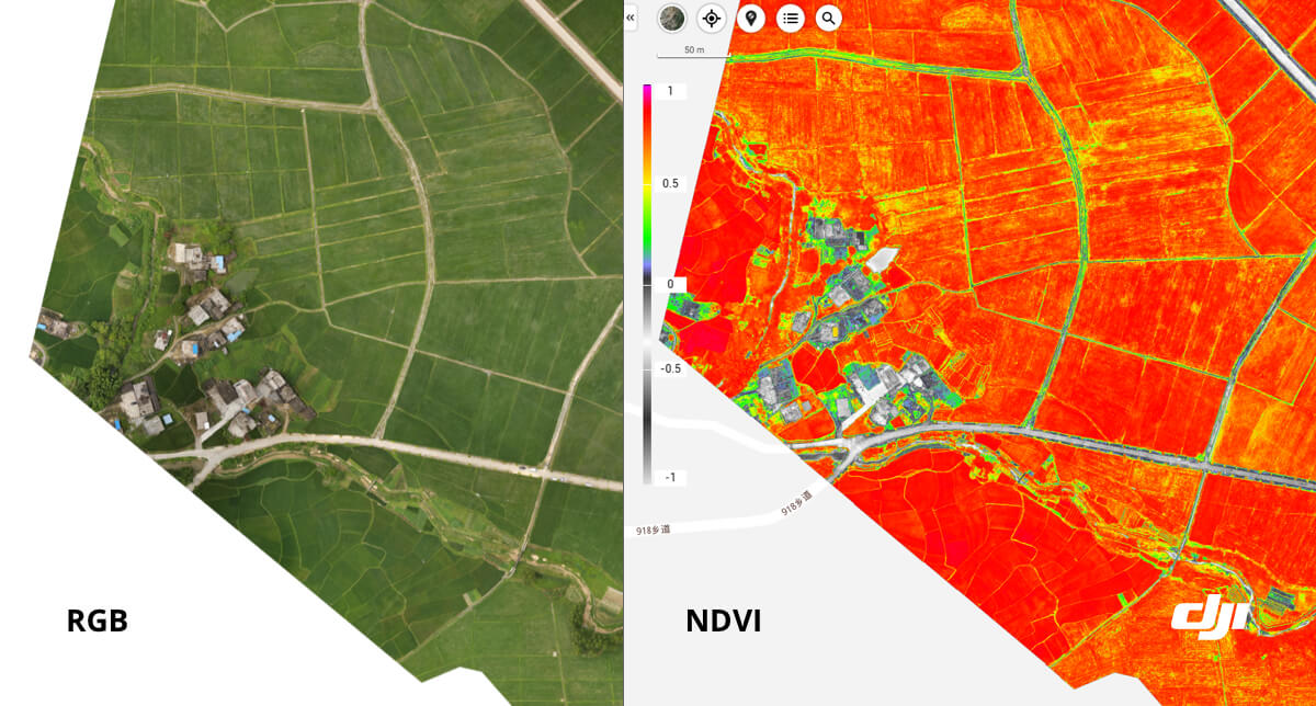
Some of the most valuable insights agriculture drones can provide are related to the health and upkeep of your crops. Your drone, if equipped with a multispectral camera, can create Vegetation Index (VI) maps to reveal critical information about your crops. One common VI, Normalized Difference Vegetation Index (NDVI) can show which plants are healthy, and which plants are not. NDVI is calculated based on the amount of near-infrared (NIR) light reflected from the leaves of your crops. Healthy leaves reflect more NIR light, while sickly, stressed, or dehydrated leaves absorb more NIR light. A NDVI map captured and generated by a drone, depending on its resolution, can show you which parts of your fields, which plants, or even which parts of individual plants need your attention.
5. Insurance and Yield Estimates:
Agriculture insurance will protect you if your crops or livestock suffer losses or damages. In the case of drought, floods, unseasonable frosts, or other natural disasters, it can be difficult to quickly and accurately demonstrate your losses. Drone data documenting the pre- and post-disaster status of your crops and livestock, as well as an informed prediction of the reduction in estimated yields, can help you quickly and smoothly navigate insurance procedures.
6. Precision Crop Spraying:
The use of drones for precision spraying was first seen in Japan in the 1980s, but today’s drone spraying solutions have become powerful, quick, and intelligent. A specialized drone can replace the expensive use of low-flying piloted airplanes, or the more hazardous hiring of human labor for crop spraying. Rather than blanketing your fields at great financial and environmental cost, your spray drone can, based on crop health data from a scouting mission, precisely apply just the right amount of fertilizer, herbicide, fungicide, or pesticide to just the plants in need.
DJI’s Agriculture Solutions
DJI sees the potential for agriculture drones to make a difference. So far, here are the agriculture drone solutions made and supported by DJI.
P4 Multispectral:
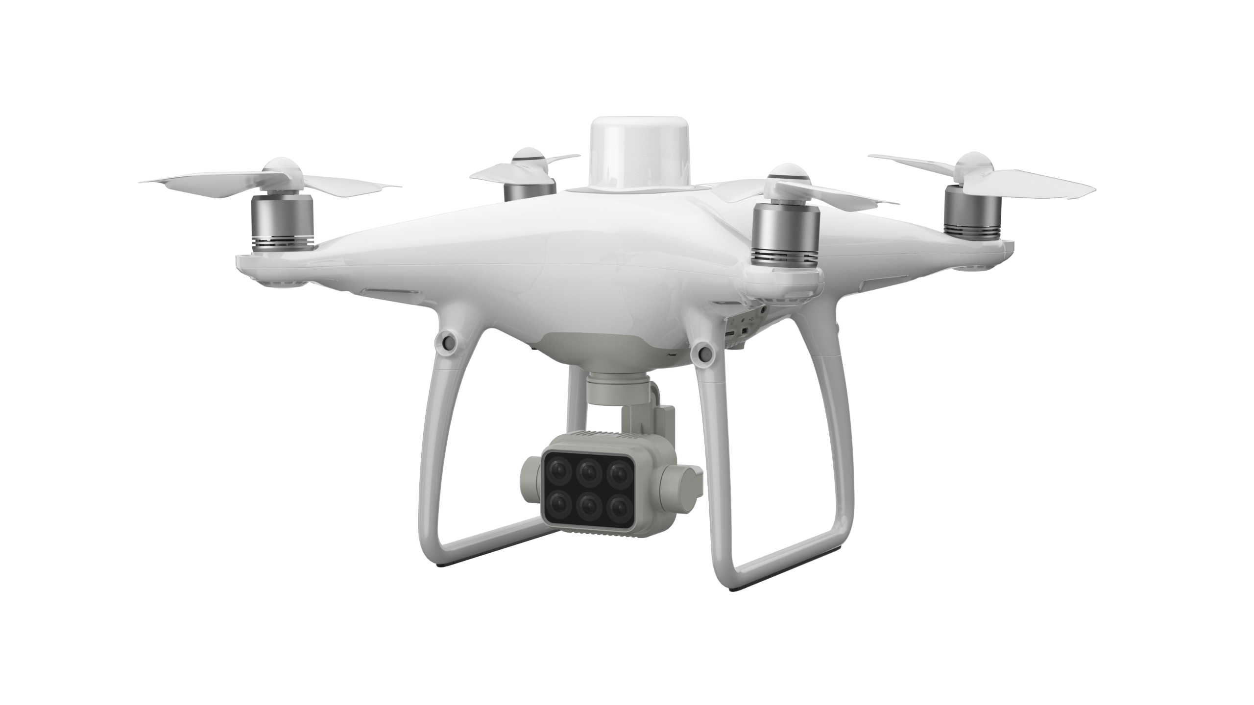
DJI’s latest Enterprise drone release, the P4 Multispectral (P4M), was designed specifically for the agriculture industry. This highly accessible tool can be smoothly integrated into agriculture workflows and can reliably collect multispectral imaging data thanks to its multispectral camera array. With a built-in RTK module and an Integrated Spectral Sunlight Sensor, the P4M can capture imaging data with centimeter-level accuracy.
Agras T16:
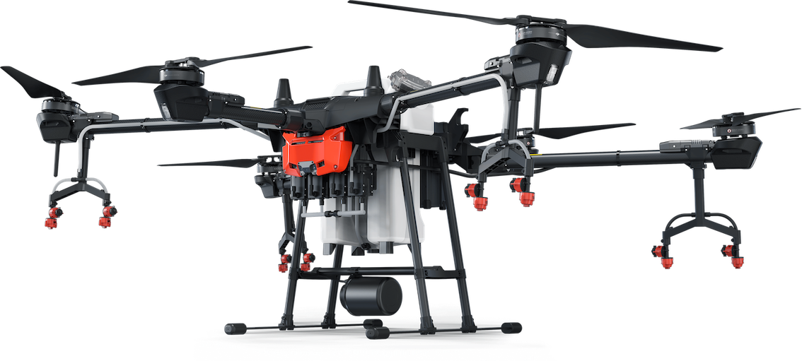
The successor to the Agras MG series, the T16 is DJI’s most powerful and optimized agriculture spray drone. Named after its impressive payload capacity of 16 liters, this heavy lifter boasts a spray width of 6.5 meters, allowing it to spray 24.7 acres per hour. With An AI module and seamless integration with DJI Terra and the DJI Agriculture Management Platform allows planning of precise spray missions.
DJI GS Pro:
DJI Ground Station Pro is a powerful, yet intuitive mission control app. Running on your iPad, GS Pro enables you to plan your flights with precision, repeatability, and automation. After flying, you can use GS Pro to manage your data on the cloud and perform 2D reconstruction of your fields.
Compatible Software:
DJI’s agriculture drones are fully compatible with a host of software solutions. Data collected can be easily imported into DJI Terra or a suite of third-party software including Pix4D Mapper and DroneDeploy, for analysis and to generate additional vegetation index maps. Through insights provided by the P4M, the T16 can be directed to perform automated and precise sprays on crops that need it most.
Don’t Work Another Day Without Aerial Insights:
Drones are a logical addition to a farmer’s toolkit and will soon become a standard piece of farm equipment. The value of informed planning and data-driven decision making cannot be overstated. Drones for your farm are easier than ever to use, have immediate utility, and allow you to operate with precision and certainty.


.png?width=300&name=L3kv%20(1).png)