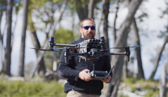
Learn more about how this new flagship platform redefines standards for industrial drones

Public Safety | User Stories | Search and Rescue
 by
DJI Enterprise
#DronesHelp
 by
DJI Enterprise
by
DJI EnterpriseWe do not disclose your personal information to third parties in exchange for monetary consideration. Nevertheless, under certain U.S. state privacy laws, such as the California Consumer Privacy Act ("CCPA") and the Virginia Consumer Data Protection Act ("VCDPA"), disclosing personal information for personalized advertising purposes may be considered a "sale" or "sharing" of personal information, or processing for "targeted advertising" purposes. Residents of these U.S. states have the right to opt out of the "sale" or "sharing" of their personal information or the processing of their personal information for "targeted advertising." This opt-out right may vary by state, but we nevertheless offer a unified option for our U.S. customers to exercise this right.
If you want to opt out of the sale or sharing of your personal information or processing for targeted advertising, please deselect the "Marketing Cookies" checkbox through Cookie Preferences. Please note that you will need to opt out on each browser you use.
You can learn more about how we collect, use, and disclose your personal information, as well as other rights and choices you may have, by reviewing our Cookie Policy.
Copyright © 2026 DJI All Rights Reserved.
Feedback on web experience? Click here