AEC & Surveying |
Inspection |
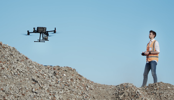
Matrice 4 Series
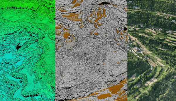
A First look into the DJI Matrice 4 Enterprise Efficiency and Accuracy
With the recent release of the DJI Matrice 4 Enterprise (M4E), DJI Enterprise has introduced a successor to the Mavic 3 Enterprise, establishing a new..
 by
Run Li
by
Run Li
April 18, 2025