Your home for everything Matrice 30 Series, from official trainings to blogs, user stories, and more
AEC & Surveying |
Inspection
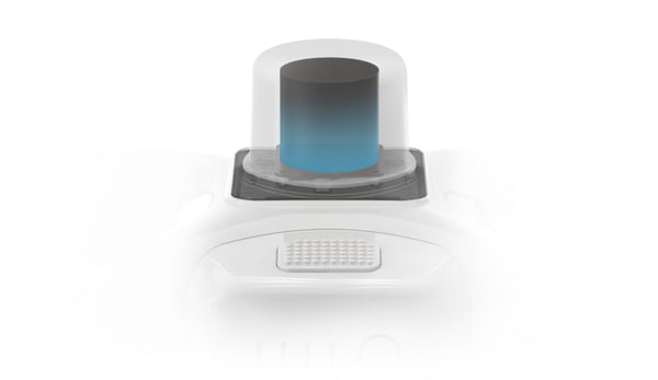
RTK Hardware | DJI Enterprise
How accurate is accurate enough? If you’re like most land surveyors, the answer is “as much as possible.”
by
DJI Enterprise May 9, 2022
AEC & Surveying
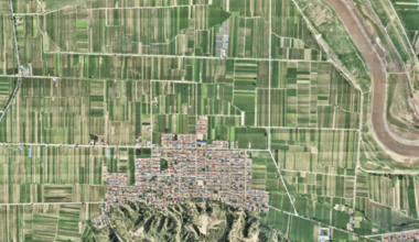
Ground Sample Distance | DJI Enterprise
If you use an aerial drone to survey land, you need to know about ground sample distance, or GSD for short. Calculating GSD is essential to determinin..
by
DJI Enterprise March 29, 2022
AEC & Surveying
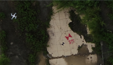
Ground Control Points | DJI Enterprise
When it comes to drone surveying, effective ground control point placement is everything. GCPs help define the boundaries of your site and properly sc..
by
DJI Enterprise March 29, 2022
AEC & Surveying
Surveying Drones vs Total Stations: Which Type of Surveying Projects are Drones Ideal For?
Because accuracy and reliability are essential for surveying professionals, it’s understandable that many have hesitated to adopt drone technology. Tr..
by
Malek Murison December 9, 2021
AEC & Surveying
Are the M300 and Propeller’s PPK platform the last word in drone surveying?
Drone surveying has fast become one of the most effective uses of drone technology to date. Instead of traditional manual methods of surveying, which ..
by
DJI Enterprise November 19, 2021
Public Safety |
AEC & Surveying
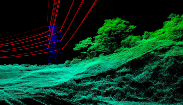
Using Point Clouds
Using point clouds the right way Whenever you need to create a detailed model of an area — for surveying, accident reconstruction, or any other purpos..
by
DJI Enterprise October 28, 2021
AEC & Surveying
Making Orthomosaics With Drones: Everything You Need To Know
Drone surveying is a lot more complicated than snapping an aerial photograph or two and calling it a day. You need to be sure your images can be scale..
by
DJI Enterprise July 28, 2021
AEC & Surveying
Is Drone Photogrammetry an Alternative to Classical Terrestrial Surveying Techniques?
If it seems like drone technology has come a very long way in the past few years, that’s because it has. Once thought of as more of a gadget than a sp..