AEC & Surveying |
Product Innovation
Introducing DJI Terra V3.7 and V3.8 Updates
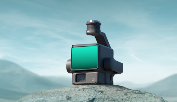
Explore the latest updates for DJI Terra (V3.7 and V3.8) in this blog post, a significant leap forward in processing tools that can be used following ..
 by
DJI Enterprise
by
DJI Enterprise
October 12, 2023