Public Safety |
AEC & Surveying |
Product Innovation
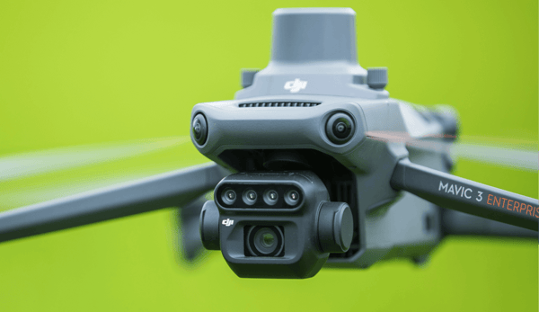
New Firmware Release for the Matrice 30 Series
Since its release, DJI's compact flagship aircraft for industrial applications, the Matrice 30 Series, has provided commercial drone pilots with an ef..
 by
DJI Enterprise
by
DJI Enterprise
November 17, 2022