AEC & Surveying |
Product Innovation
Top Reasons Why DJI Terra Is The Best Drone Mapping Software
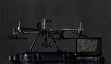
DJI launched DJI Terra in 2019 for users who needed a reliable and effective software tool for mapping. 49 software updates later, we have continued t..
 by
DJI Enterprise
by
DJI Enterprise
March 26, 2021